PCT 2025 Oregon Section E / Williamette Pass Out - Day 37
04.08.2025
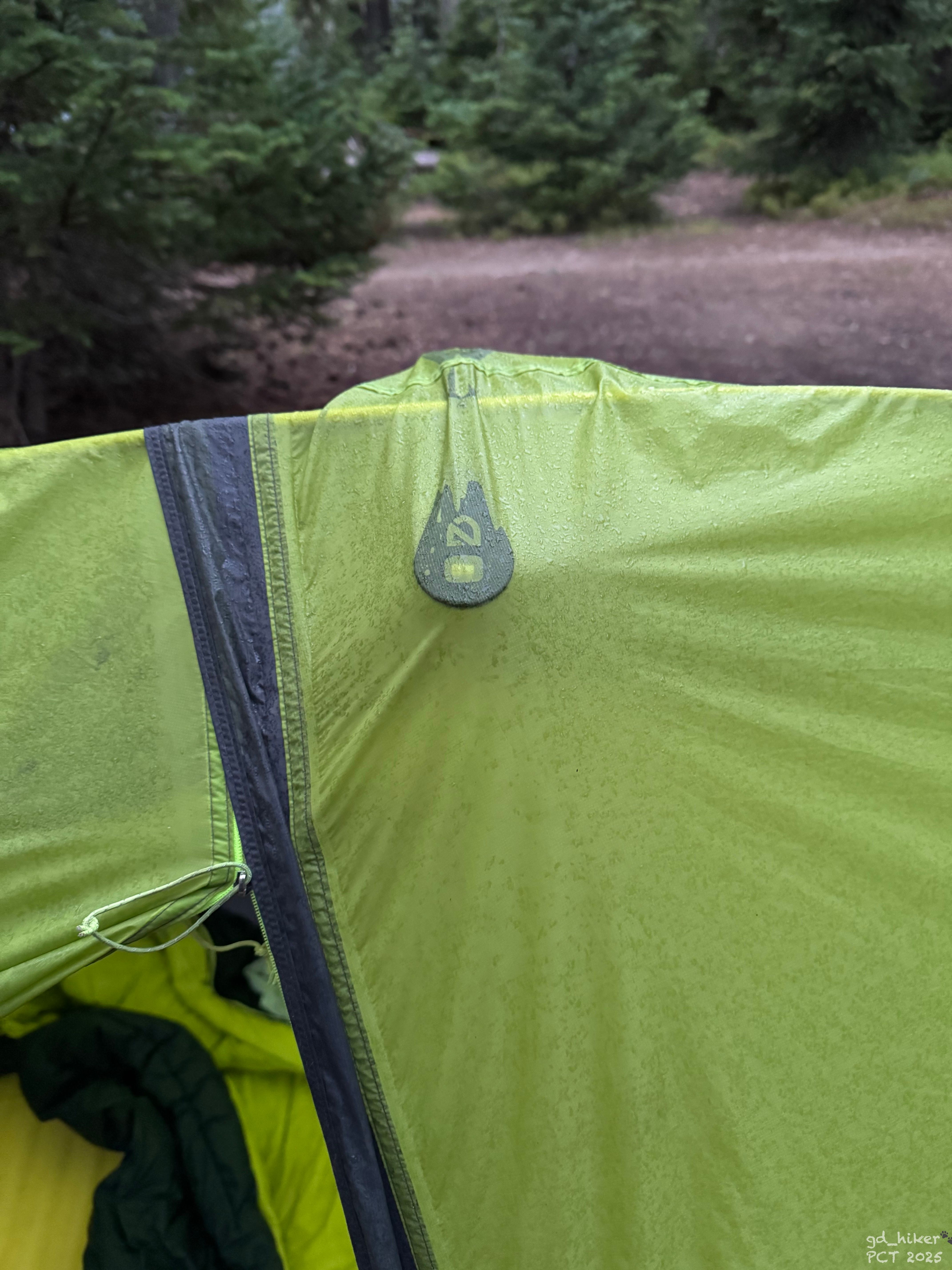
In der Nacht hat es geregnet und mein Zelt ist außen noch nass. Aber das ist nicht weiter schlimm – beim Aufstehen ist es draußen trocken und die Luft schön frisch.
Es war beschlossen – ich werde beim Willamette Pass den Trail erst einmal verlassen. Meinen Füßen geht es überhaupt nicht gut und eine der Blasen sieht stark entzündet aus.Die meiste Zeit laufe ich inzwischen mit Schmerzen – und das trotz der neuen Schuhe, die sich leider als kompletter Flop herausgestellt haben.
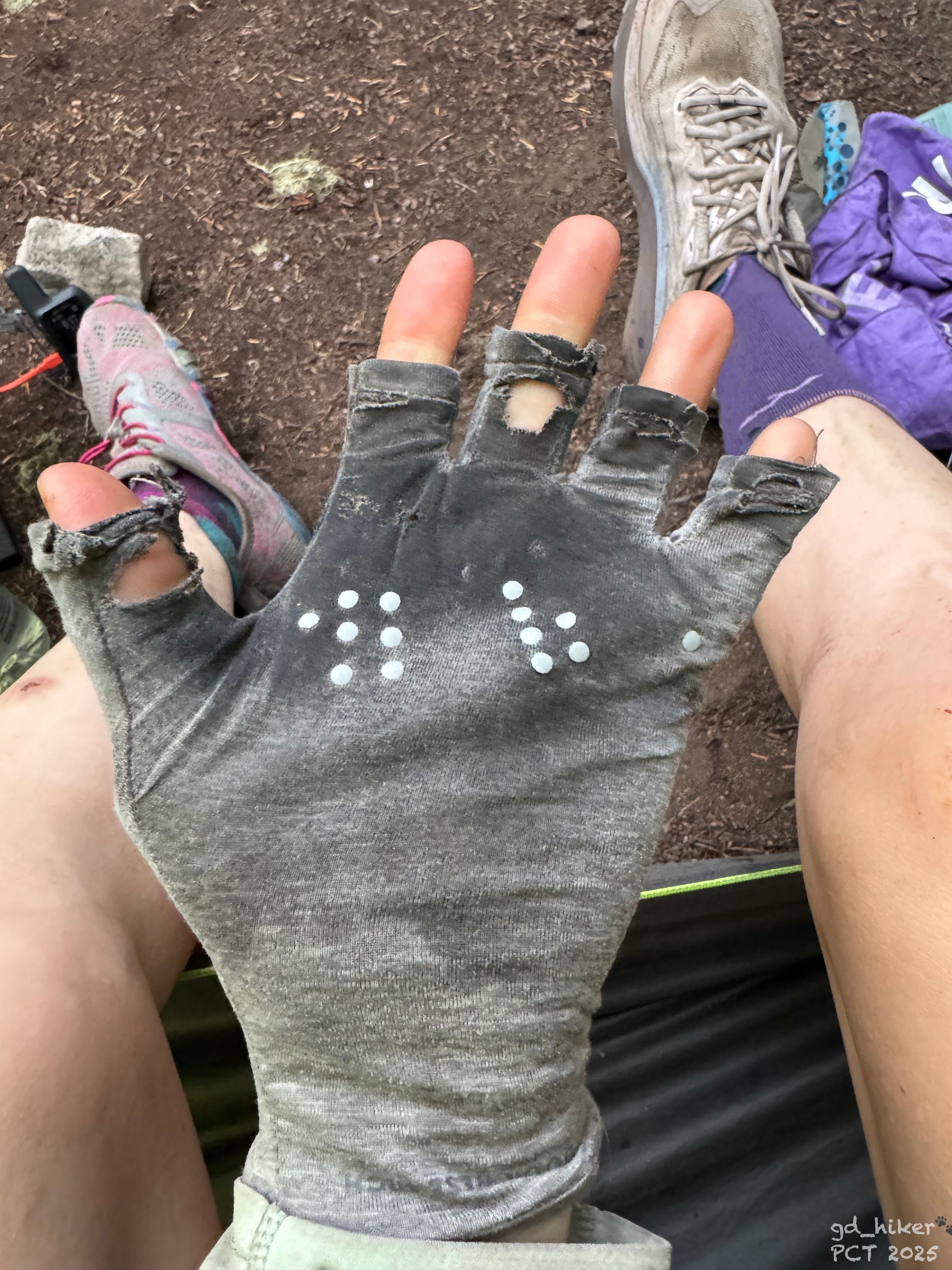
Neue Handschuhe bräuchte ich bad auch mal 👀
Um 6:45 Uhr ging es wieder weiter – entlang des Charlton Lake, mit noch tief hängenden Wolken in den Bäumen.
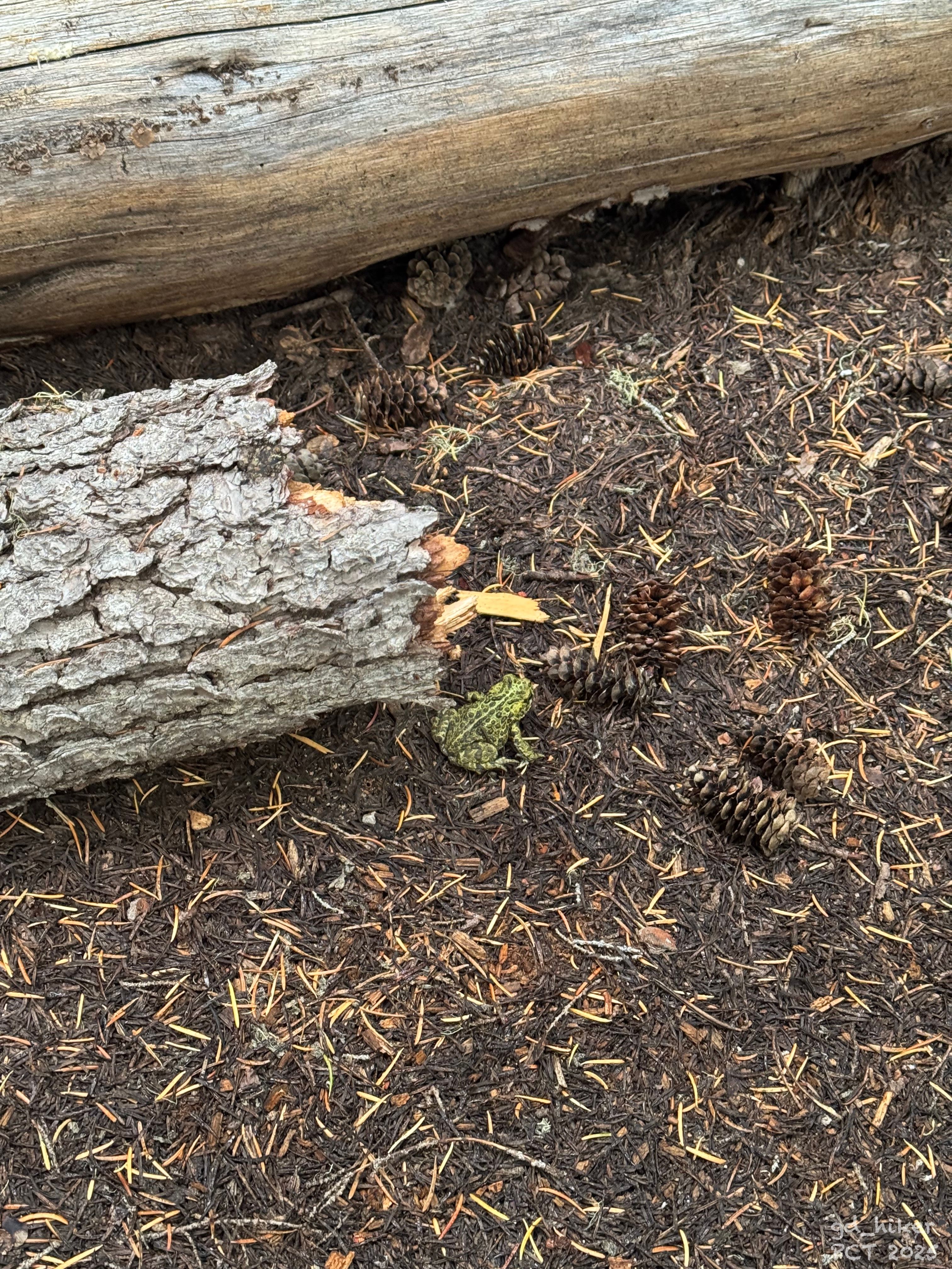
Ein kleiner Frosch hüpfte mir vor die Füße, während ich – Schritt für Schritt und trotz der Schmerzen – voranschritt.
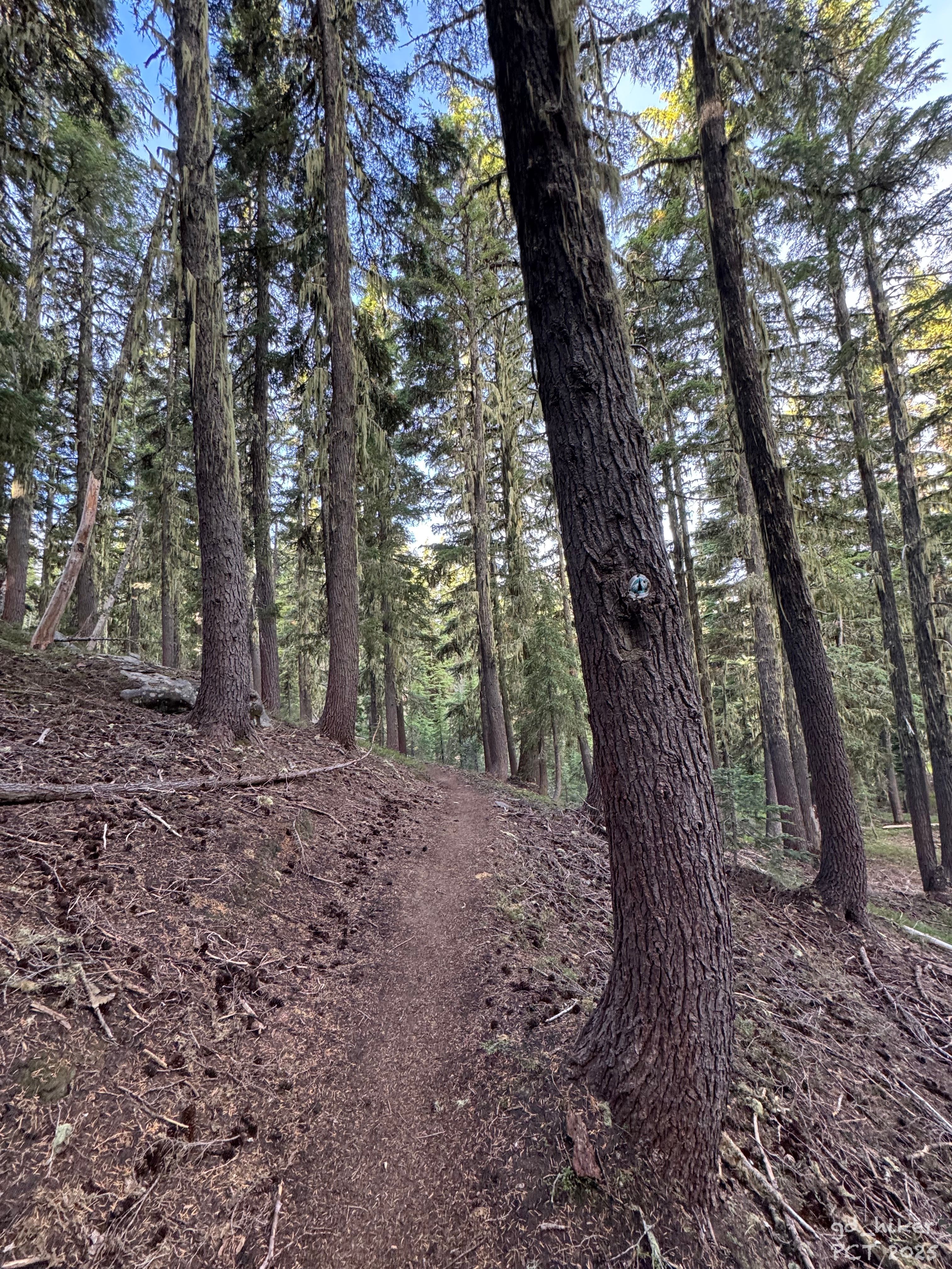
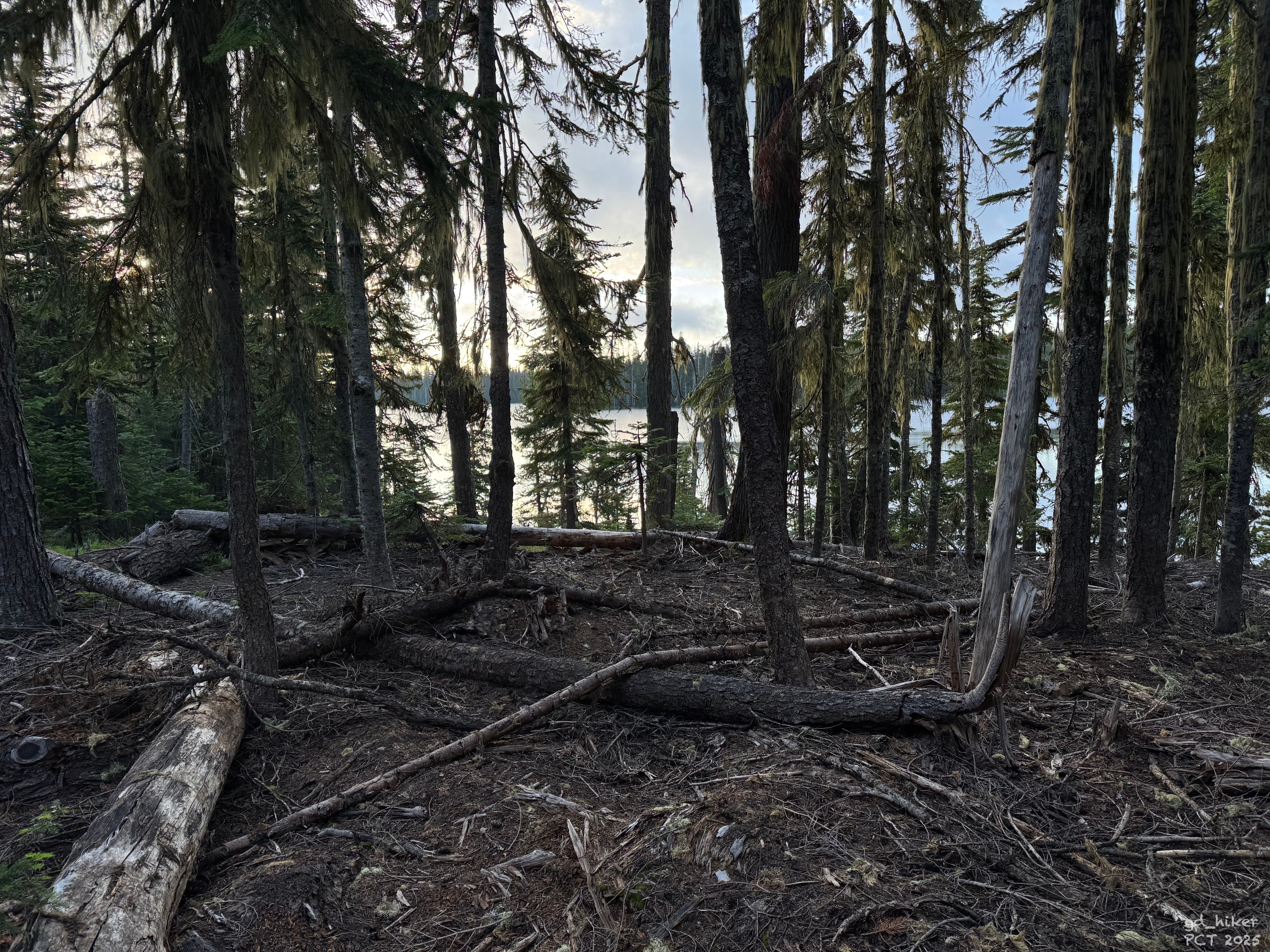
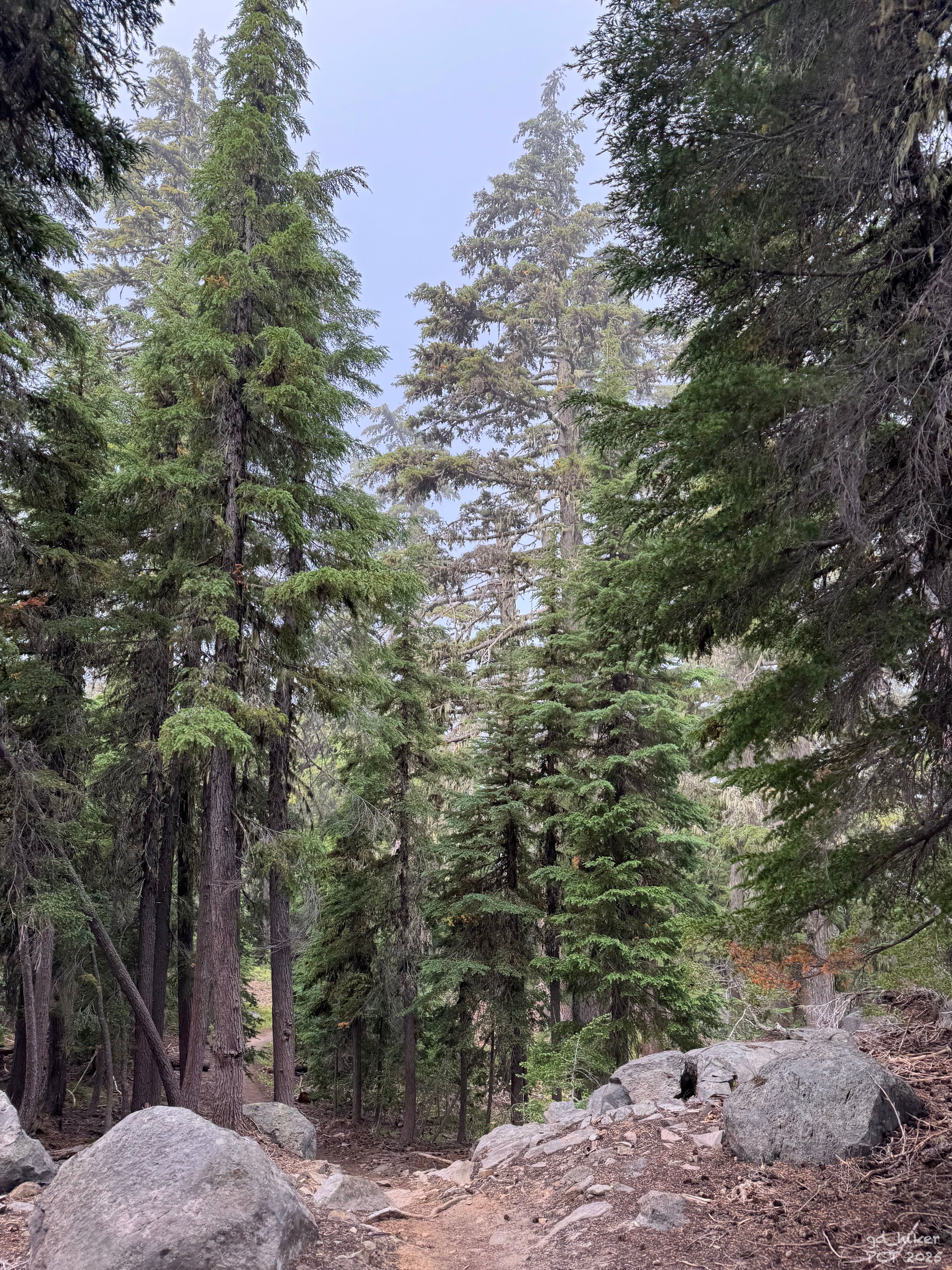
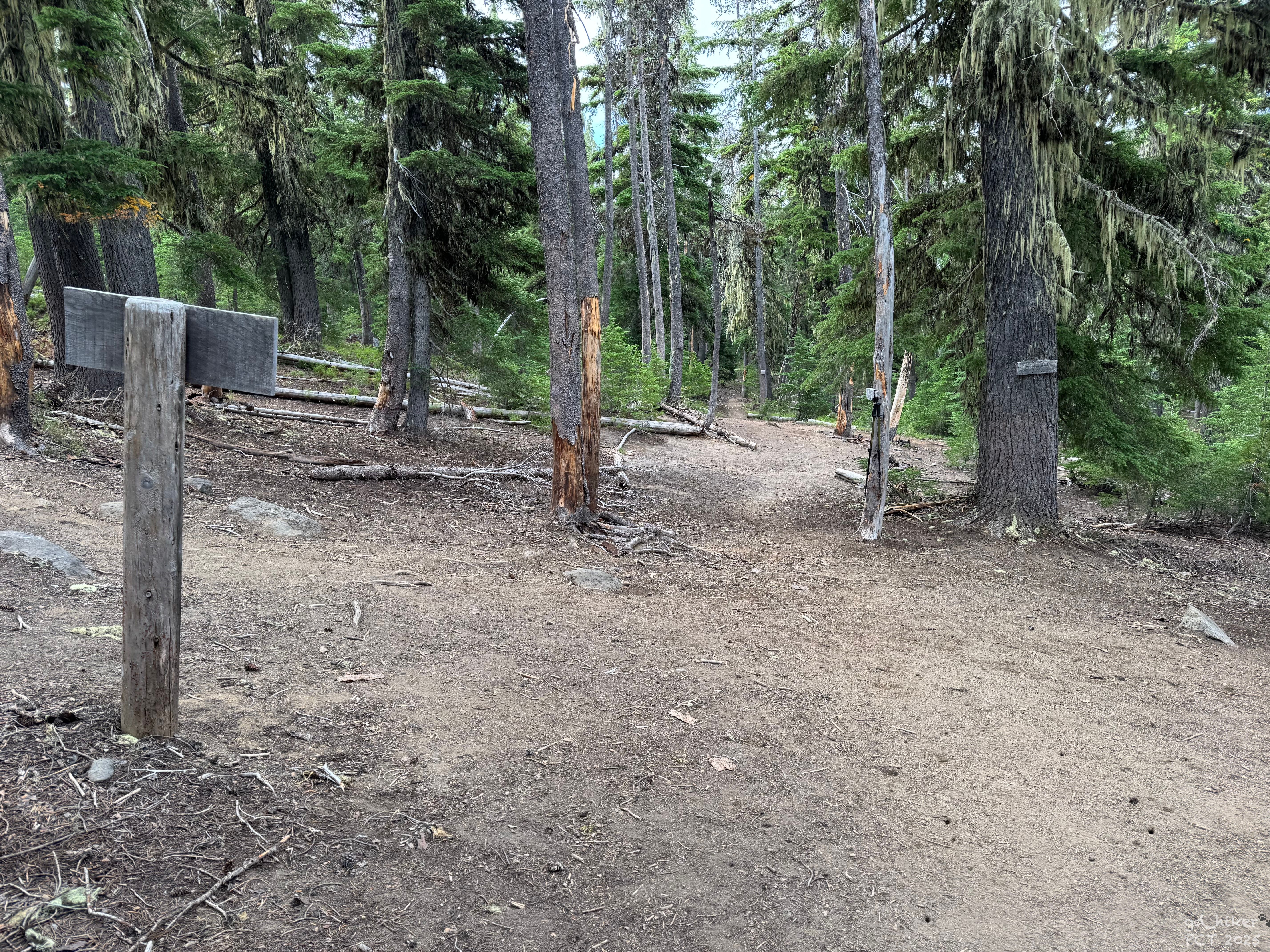
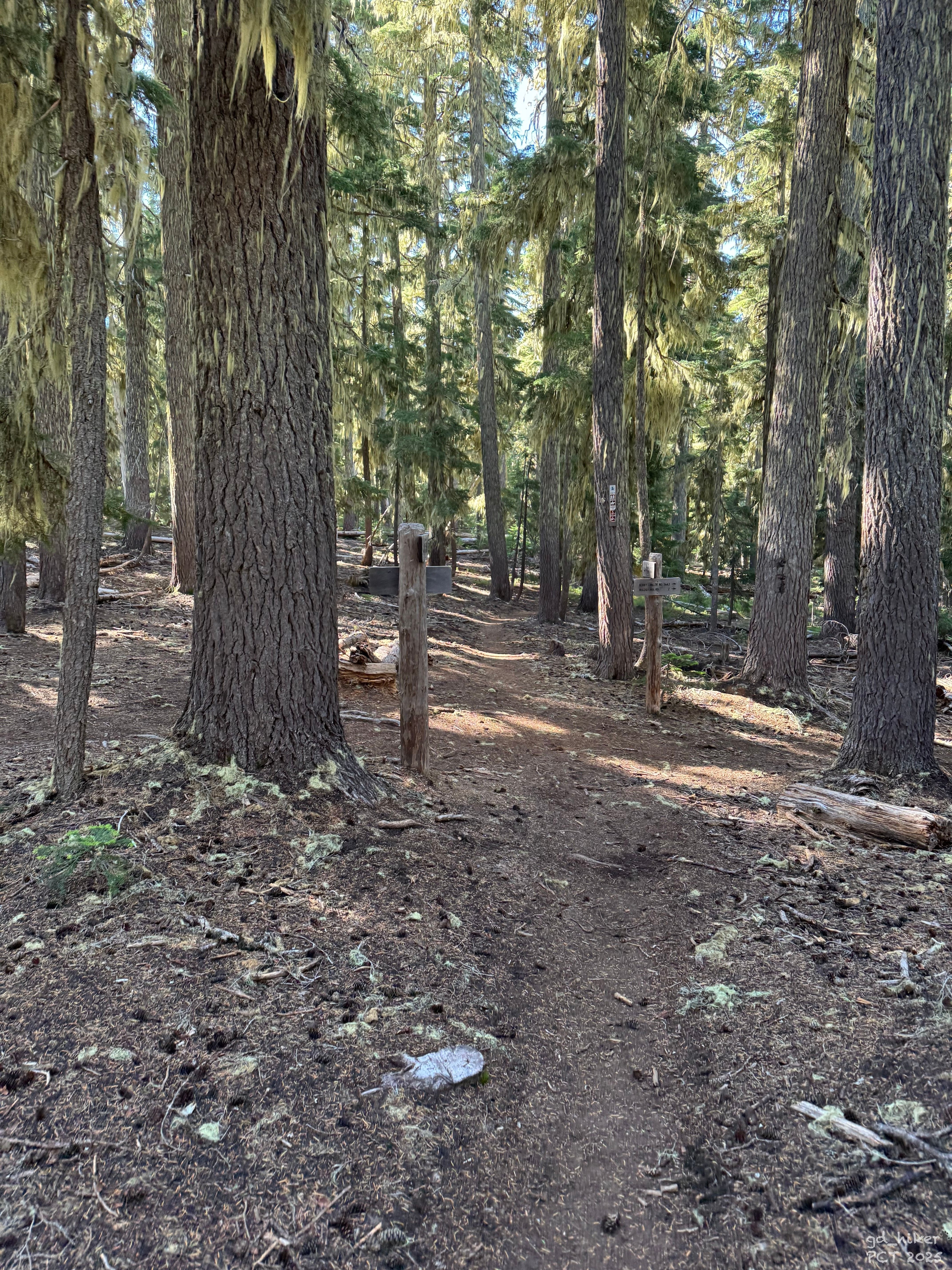
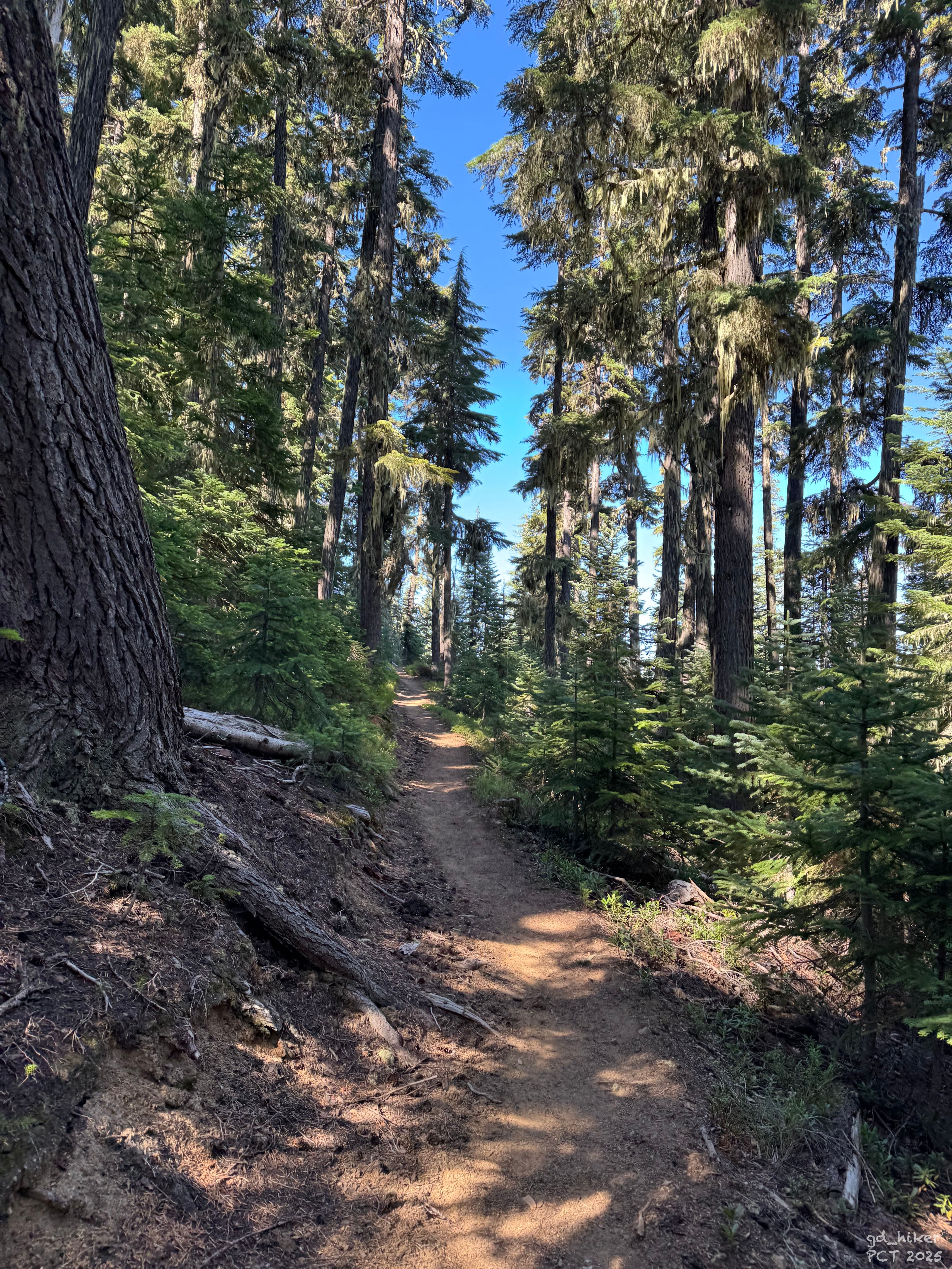
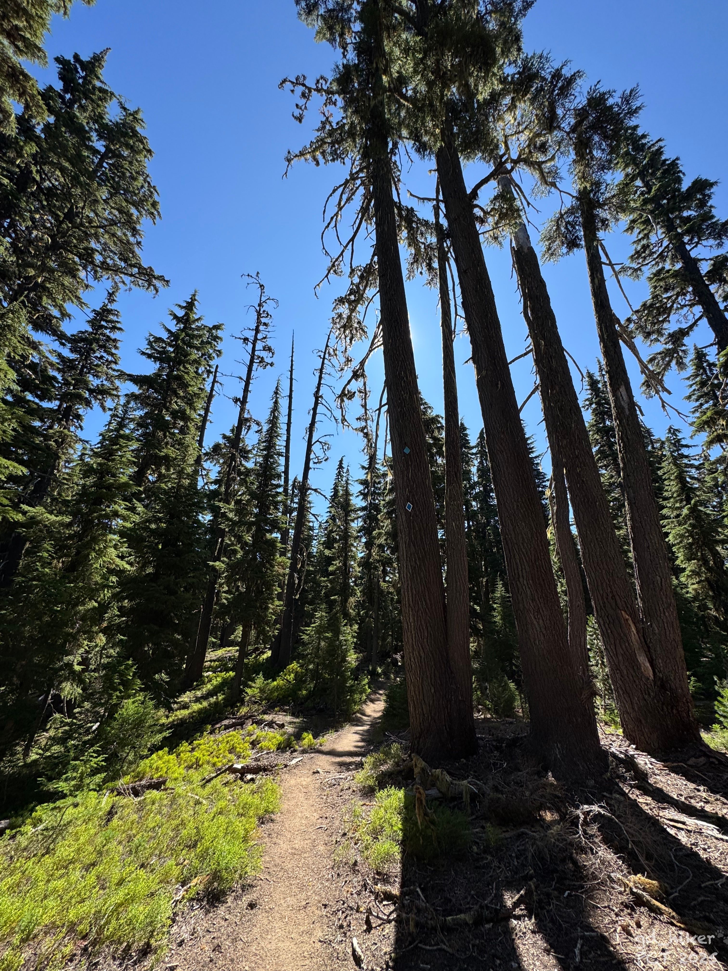
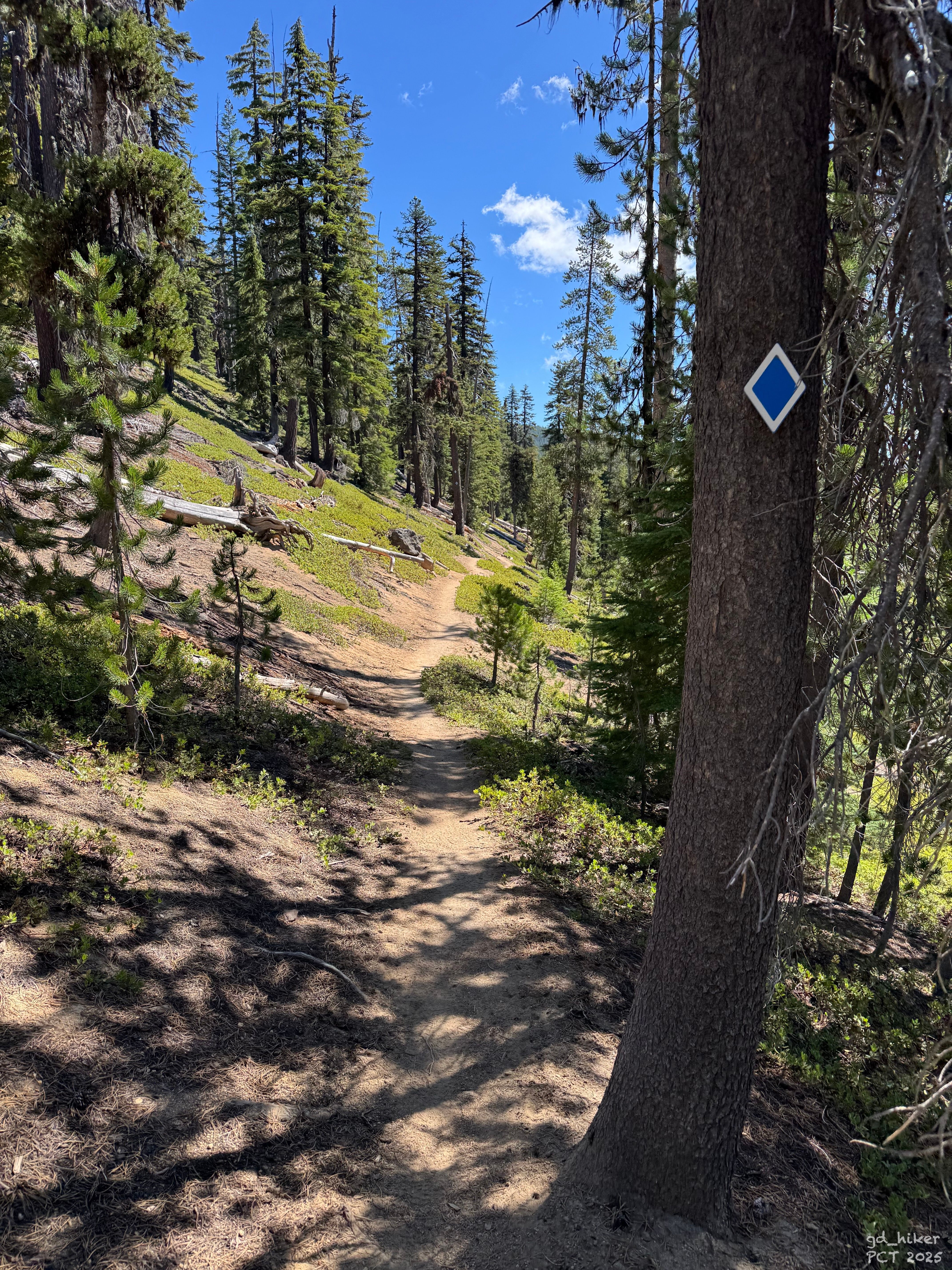
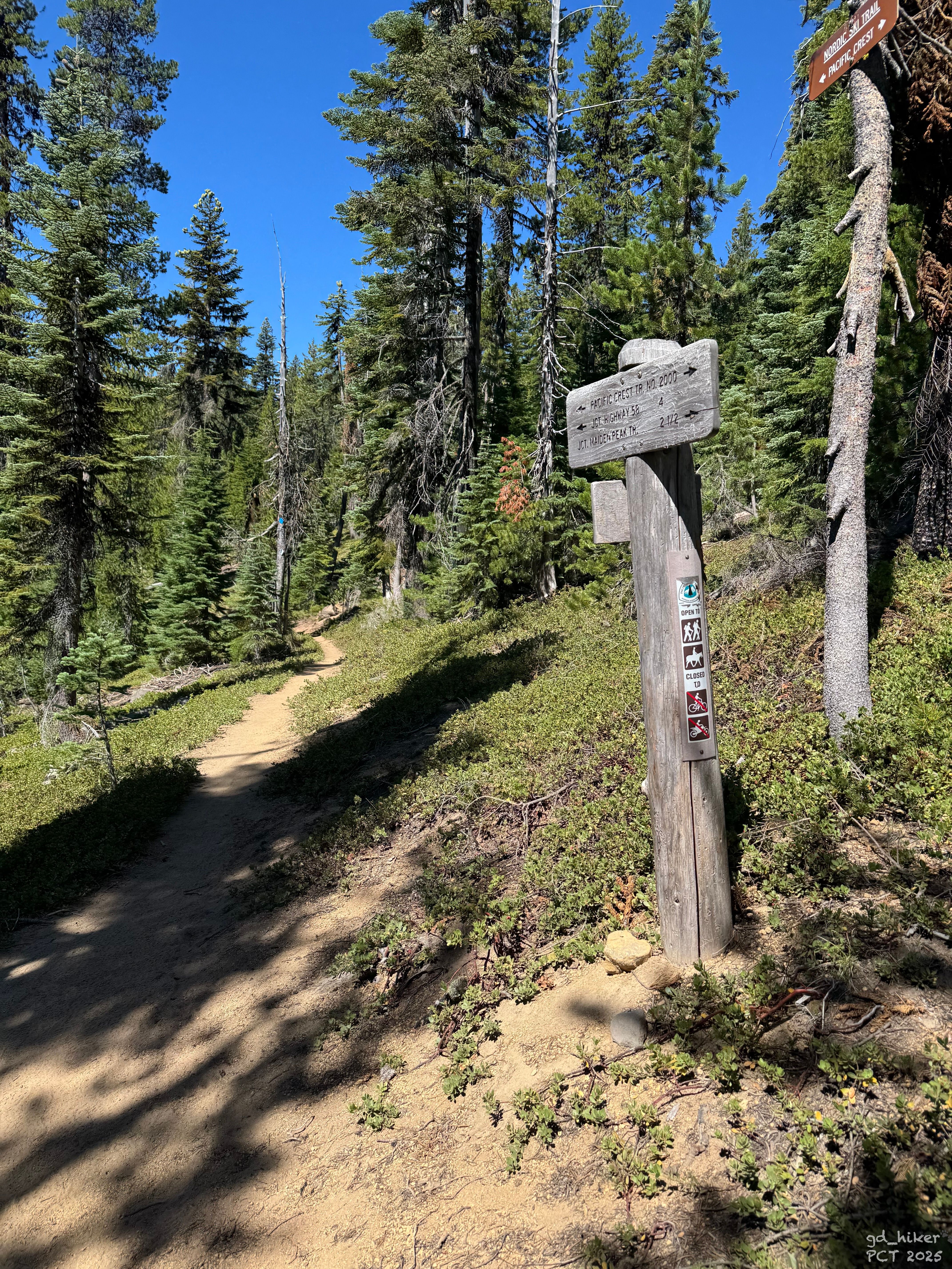
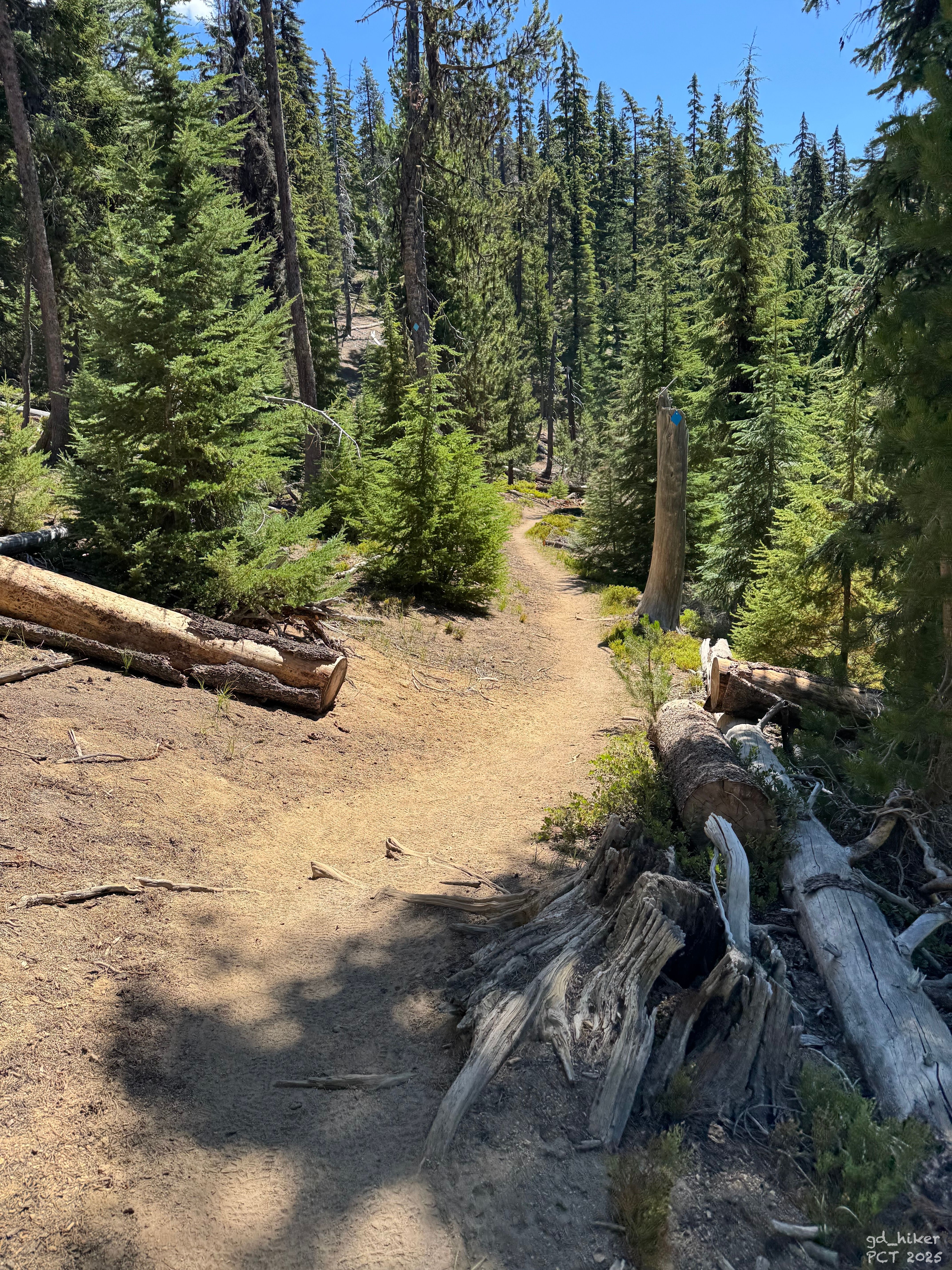
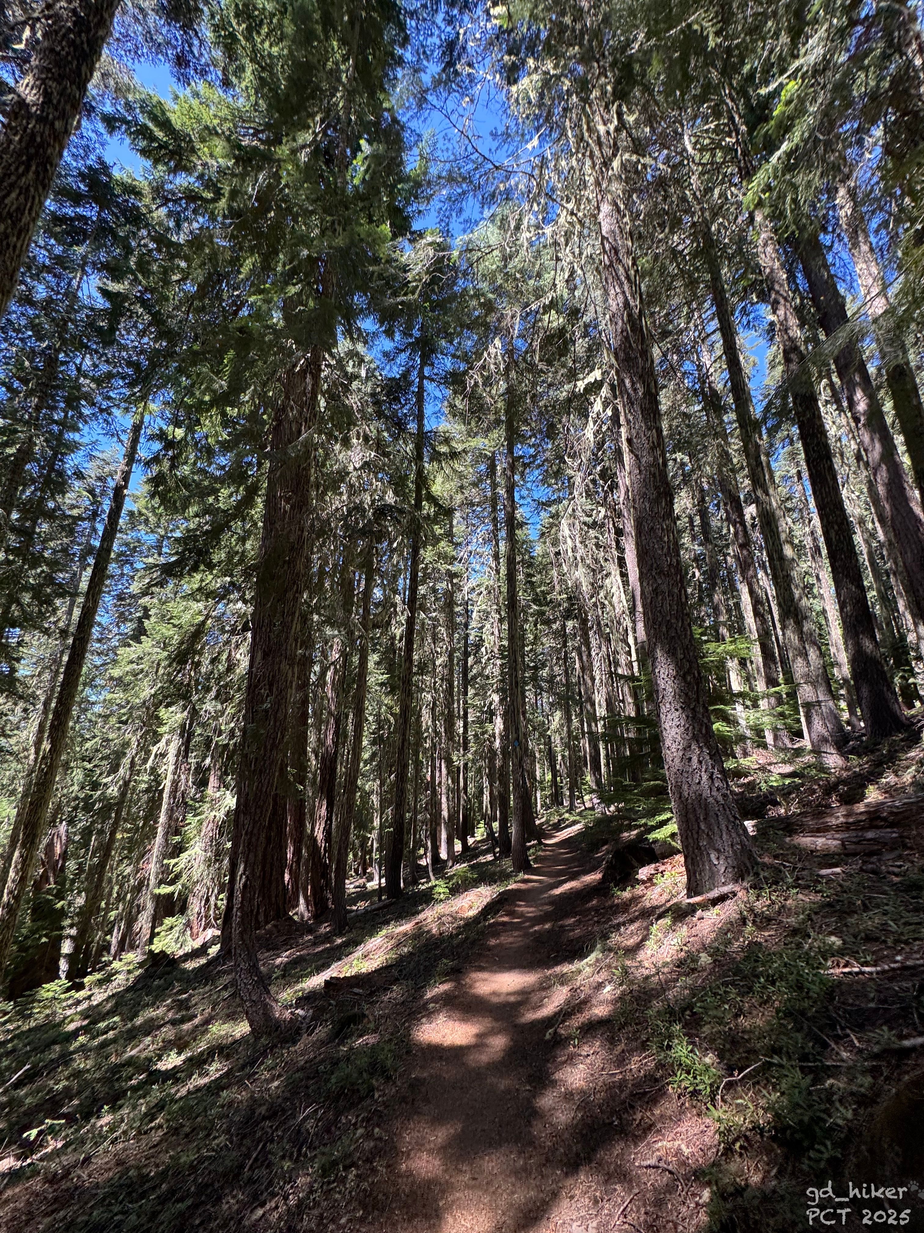
Die Landschaft blieb weiterhin stark vom Wald geprägt, während sich die Sonne langsam ihren Weg nach oben bahnte. Unterwegs kam ich an vielen Junctions und auch an einigen Seen vorbei.
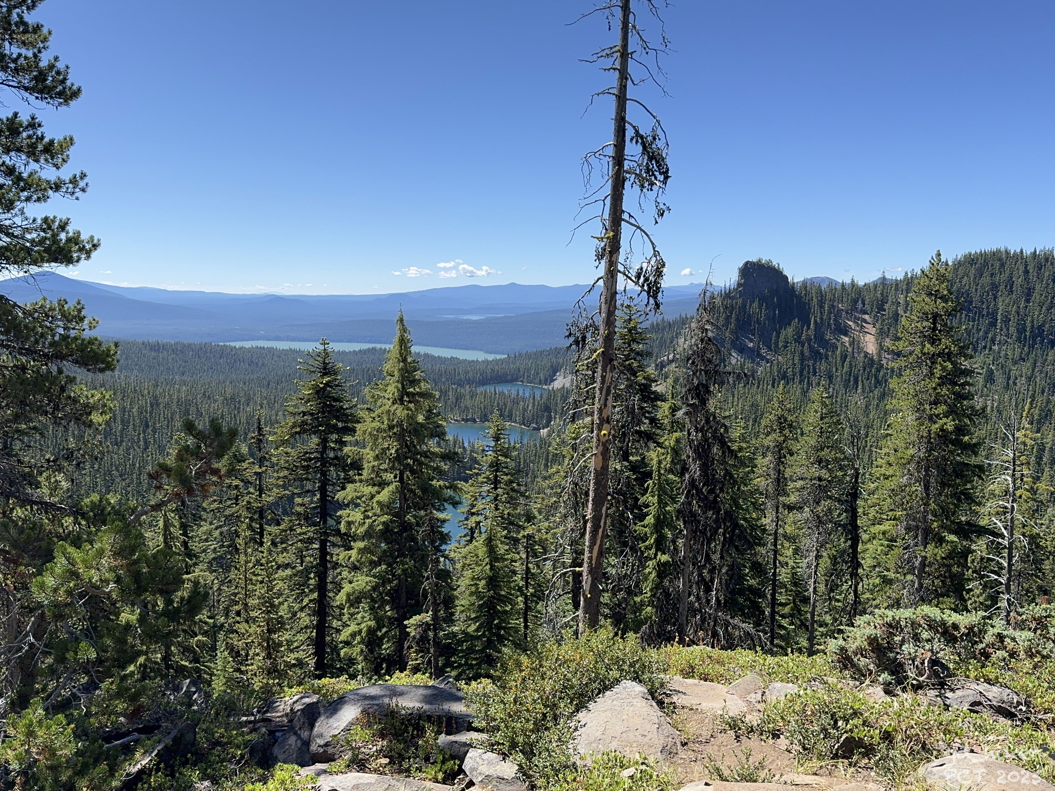
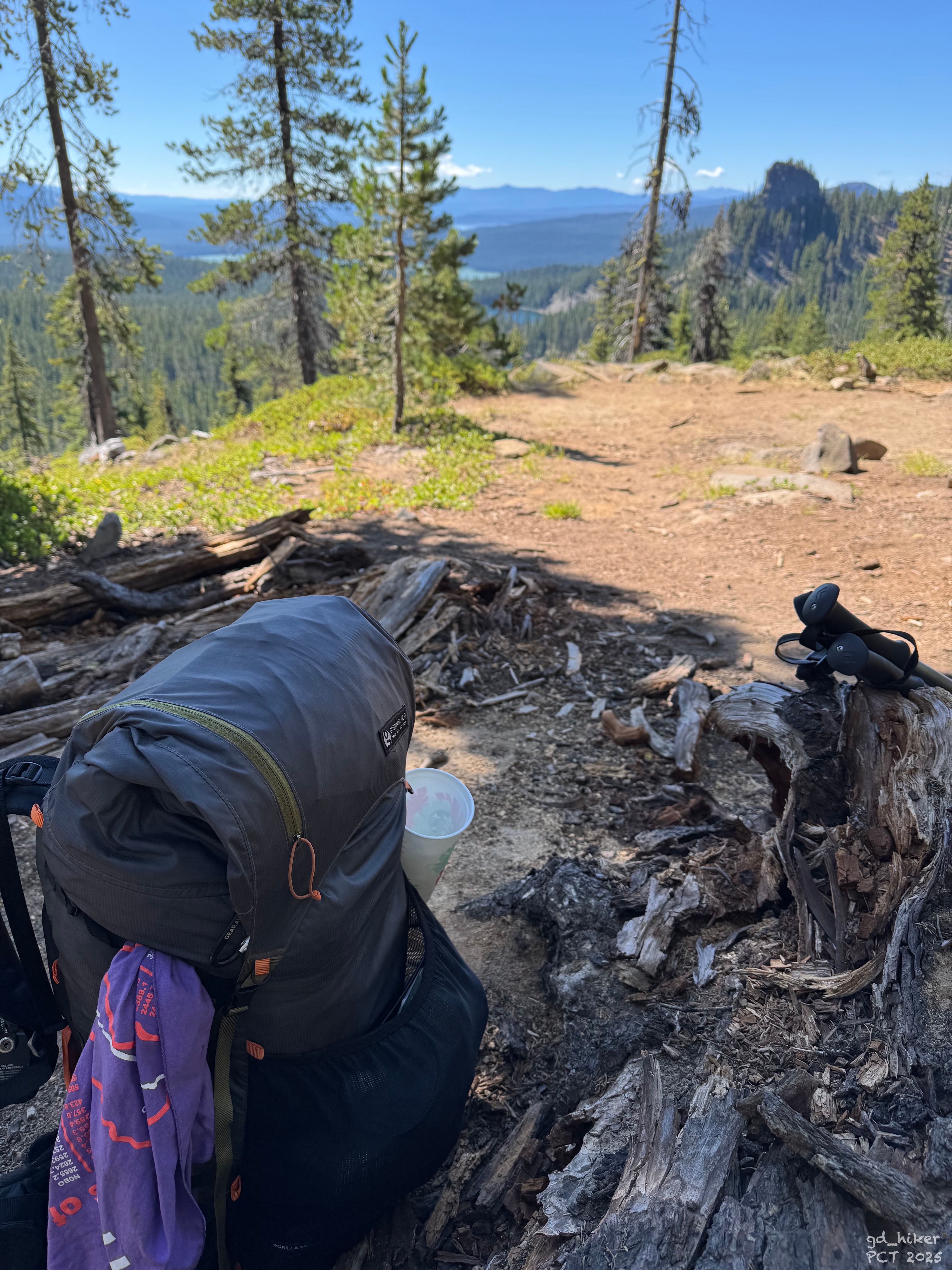
So vergingen die ersten Stunden mit einer leichten Steigung und ich erreichte um 10:45 Uhr den Aussichtspunkt am Maiden Peak Saddle.
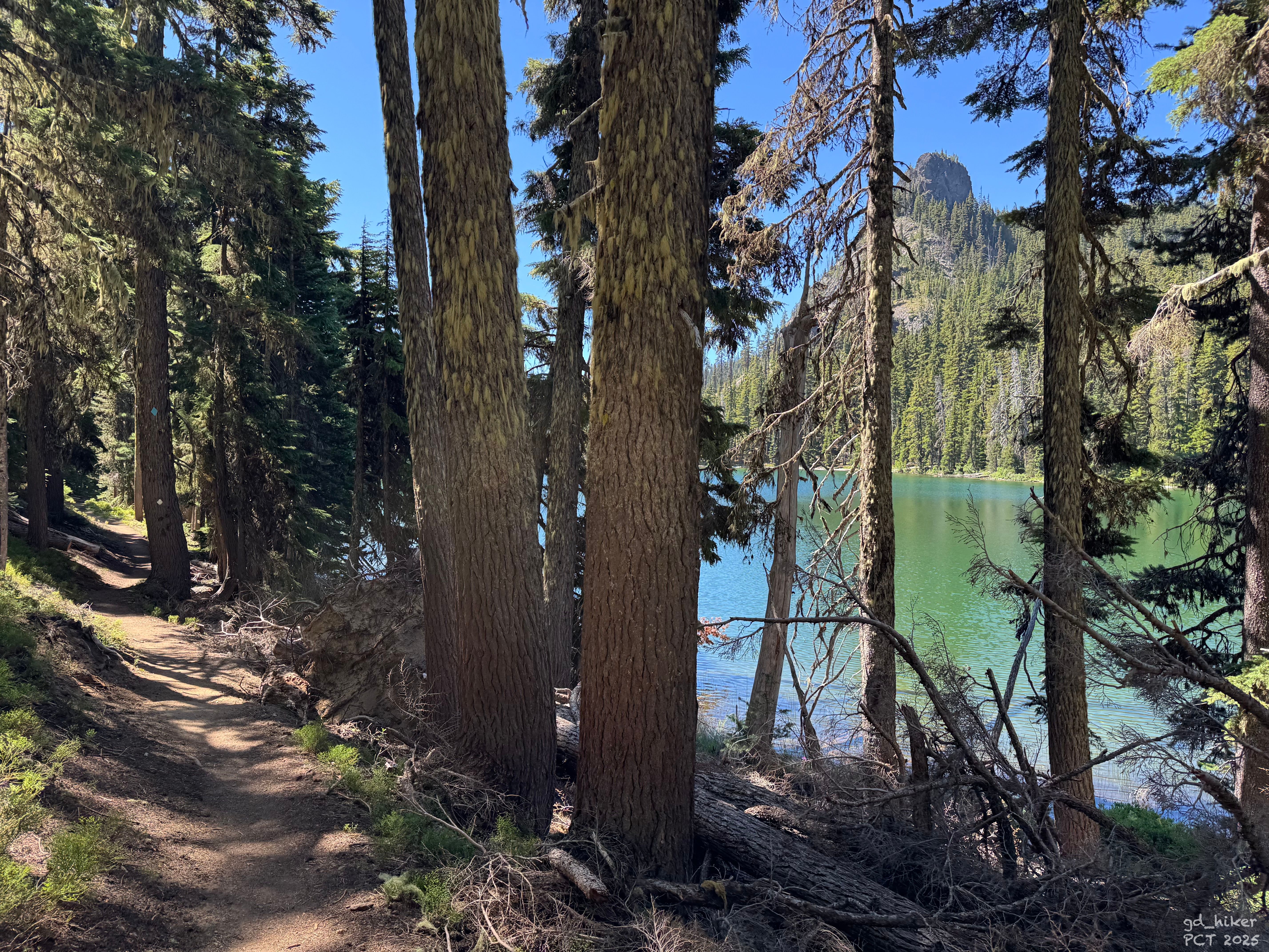
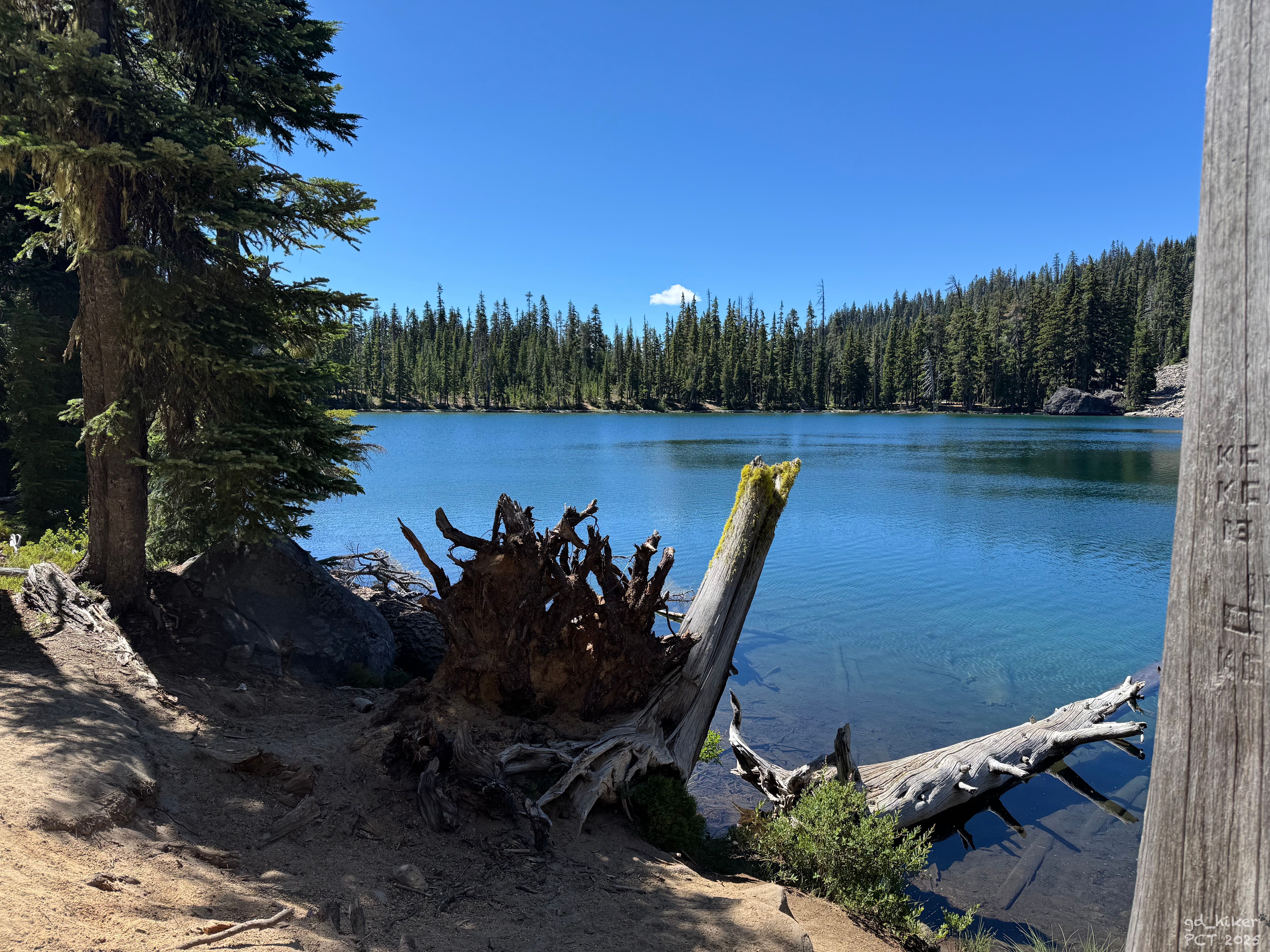
Hier legte ich eine Pause ein und setzte mich auf einen umgefallenen Baumstamm. Von dort hatte ich eine tolle Aussicht auf die drei Rosary Lakes und hinüber zum Odell Lake bei Shelter Cove.
Meine Pause dauerte nur etwa 15 Minuten – je länger meine Füße ruhten, desto unangenehmer wurde das Wiederanlaufen.
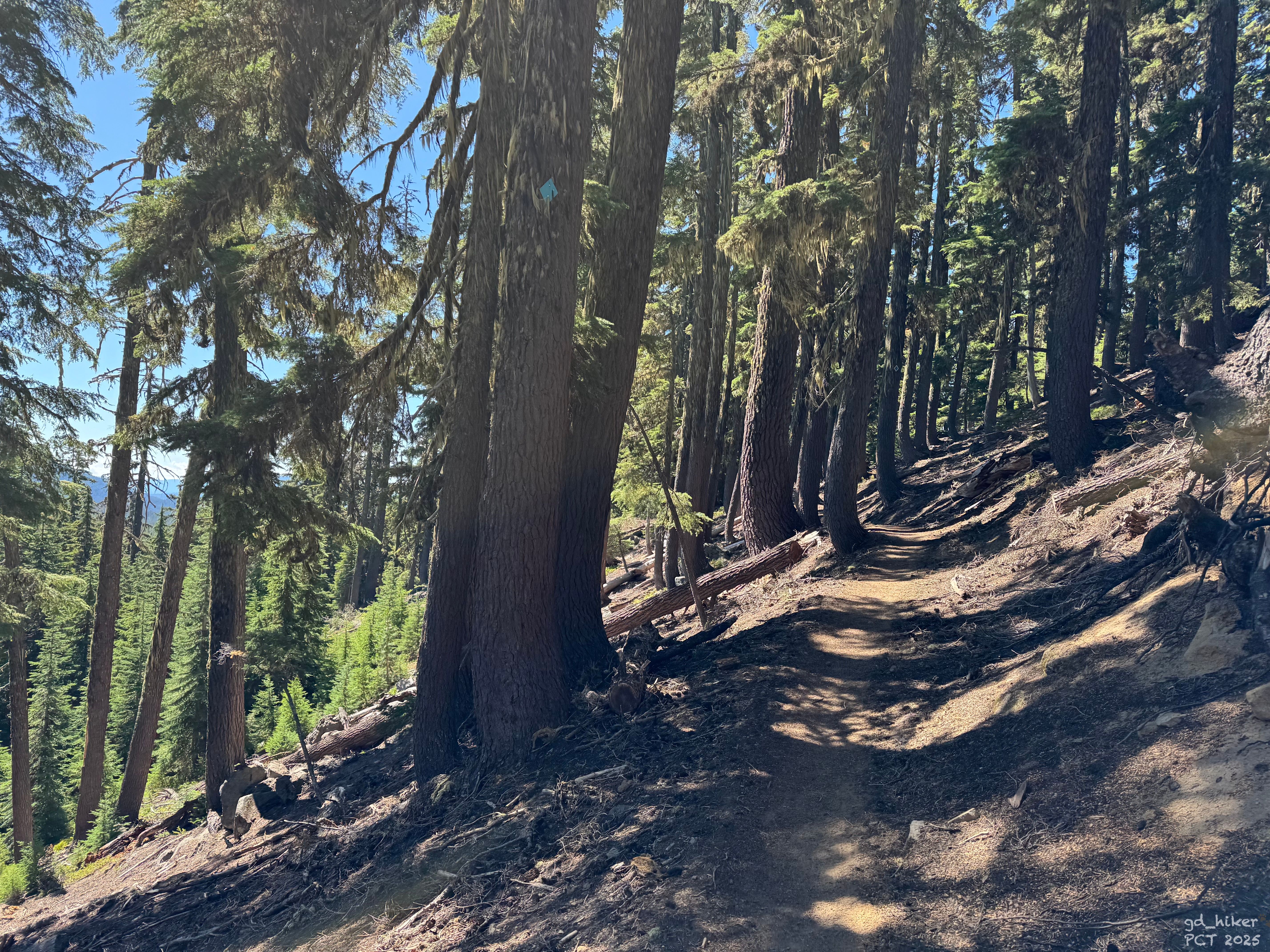
Von hier aus ging es nur noch bergab – etwa 340 Höhenmeter auf 7,3 Kilometer. Ziemlich entspannt, würde ich sagen.
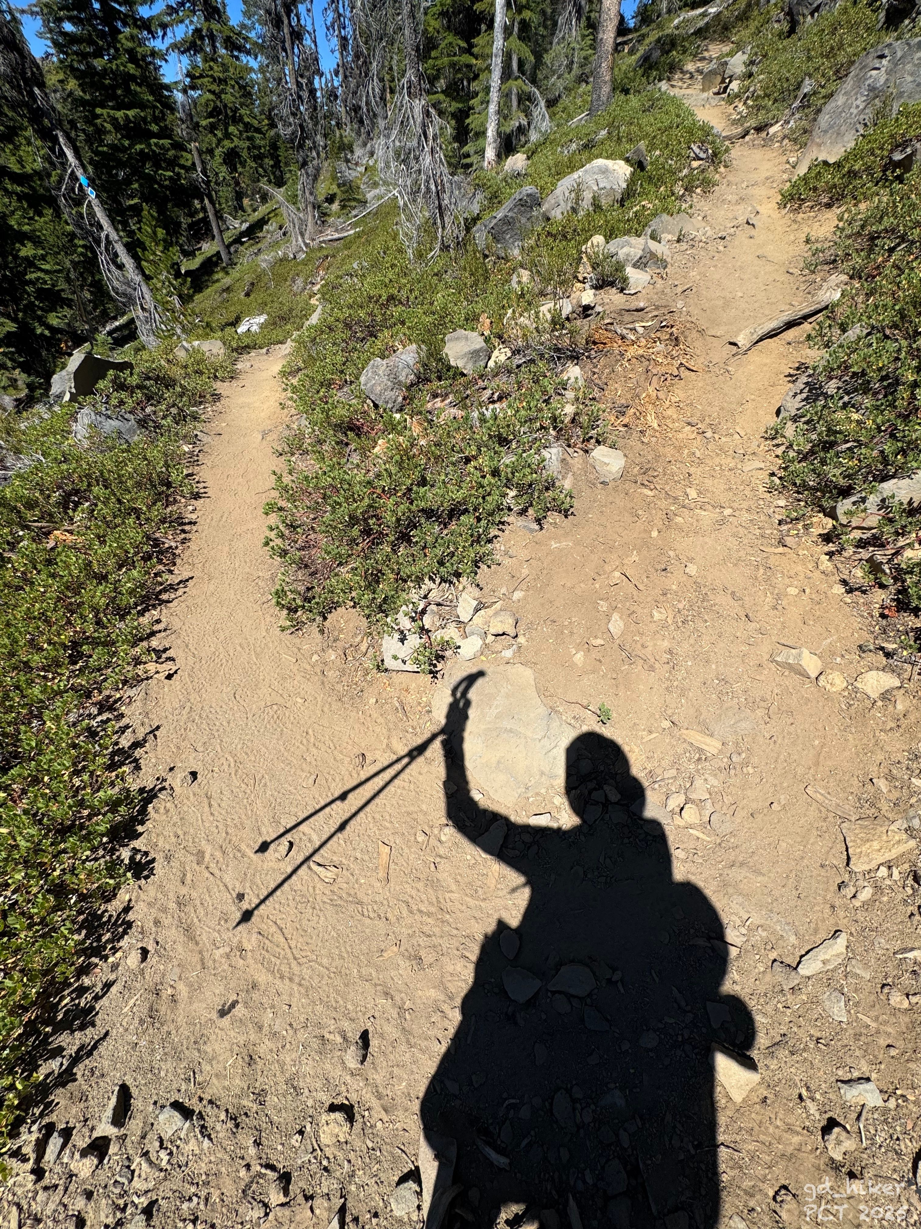
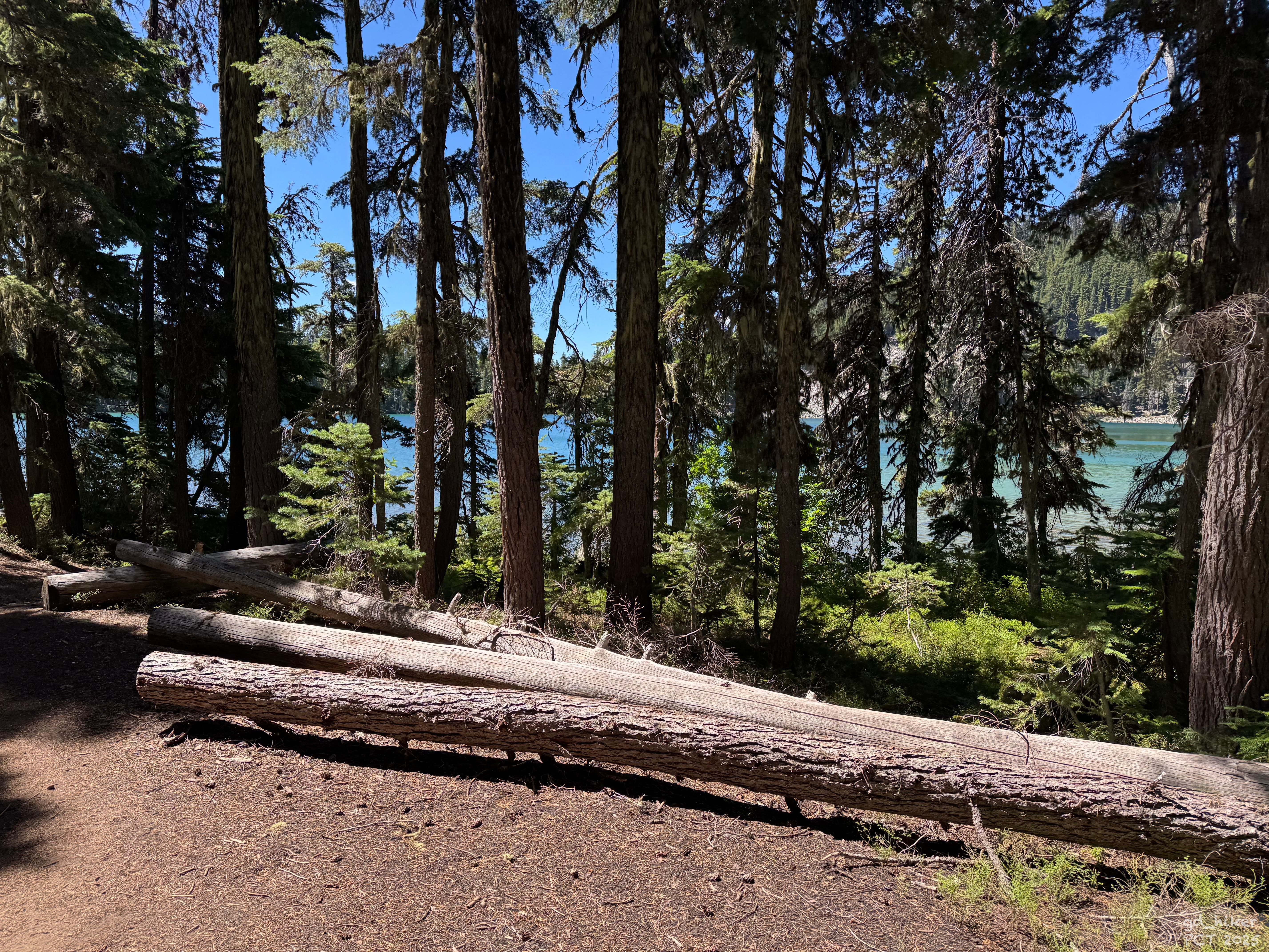
Und es war wirklich angenehm zu gehen. Der Weg war gut gewartet und es lagen kaum Steine oder andere Obstacles auf dem Weg.
Ich erreichte den ersten – den North Rosary Lake. Er lag wunderschön in der Sonne und lud, wie die anderen beiden auch, zum Verweilen ein.
Die Qual der Wahl ist mir auf dem PCT schon oft begegnet – es gibt einfach zu viele schöne Plätze, an denen man gern eine Pause einlegen würde.Ich wollte jedoch weiter und meine Schuhe bald ausziehen, daher konnte ich die Rosary Lakes nur beim Vorbeigehen zu winken.
Bald war ich an meinem Ziel – obwohl es nicht mein eigentliches Endziel für heute war.
Am Shelter Cove hätte ich bleiben können, es gab dort sowohl einen Zeltplatz als auch eine Cabin.
Allerdings fehlte ein Supermarkt und die Möglichkeit, einen Arzt aufzusuchen.
Mein Ziel war Oakridge – ein Ort mit 3.200 Einwohnern, wo beides verfügbar war.
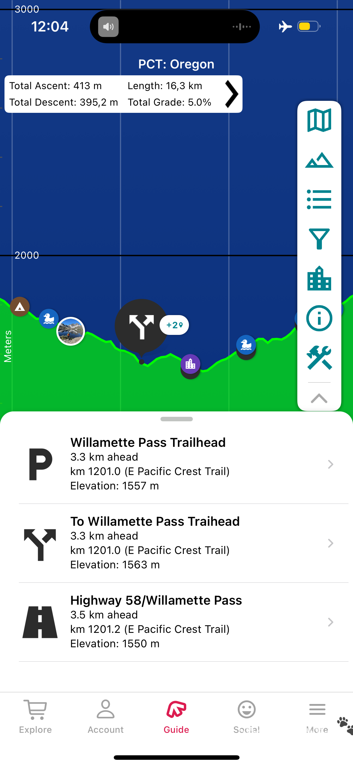
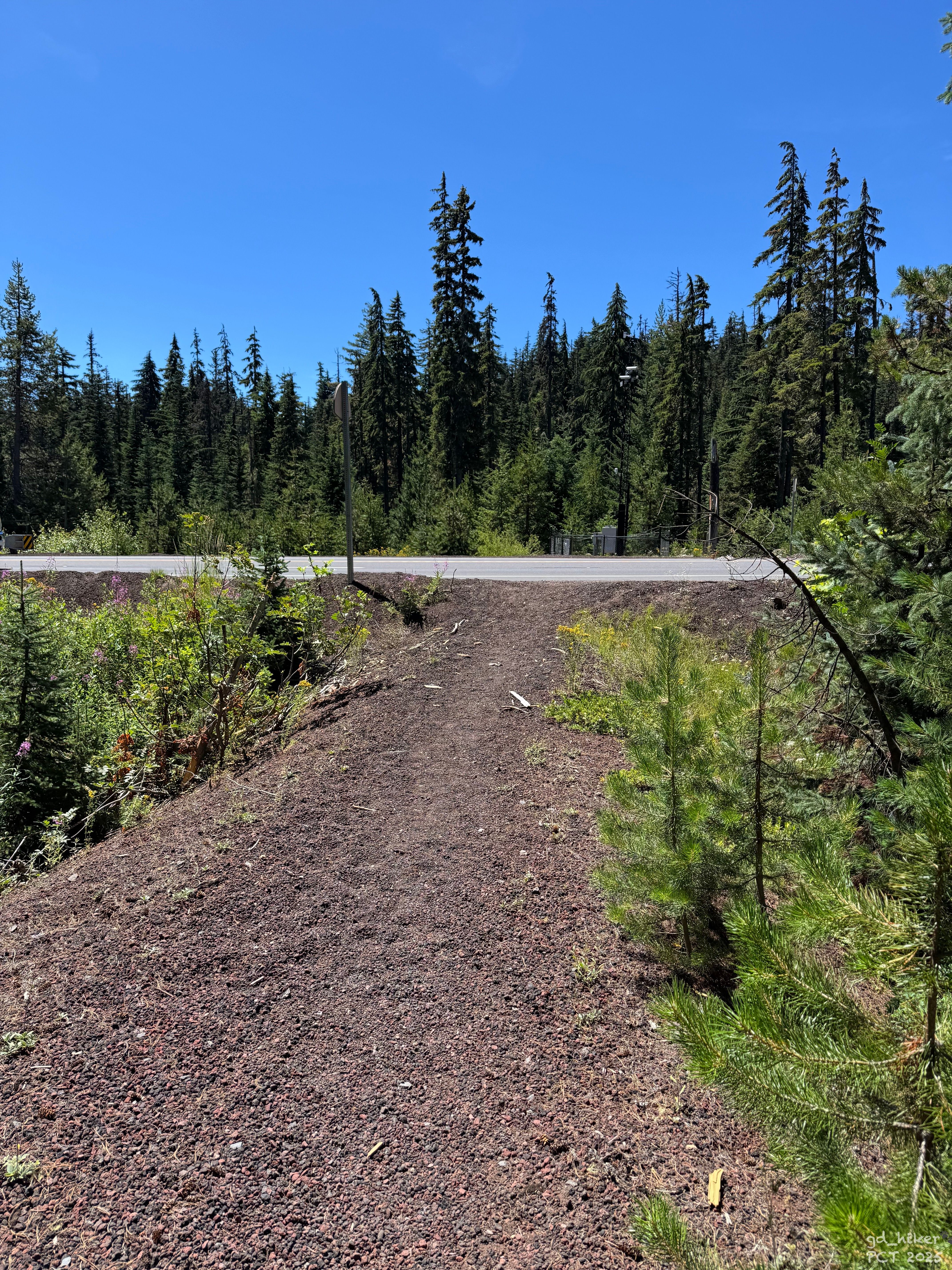
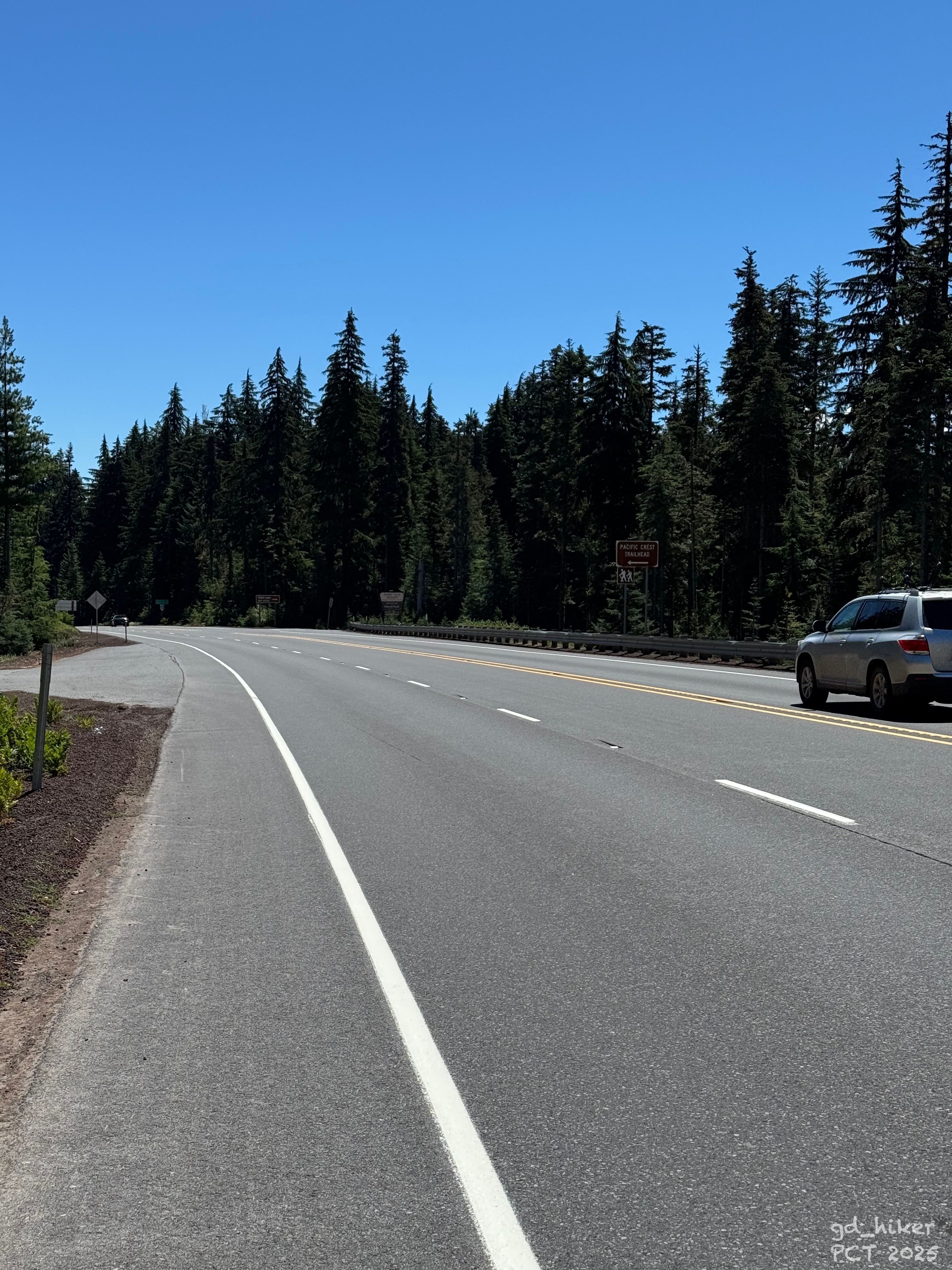
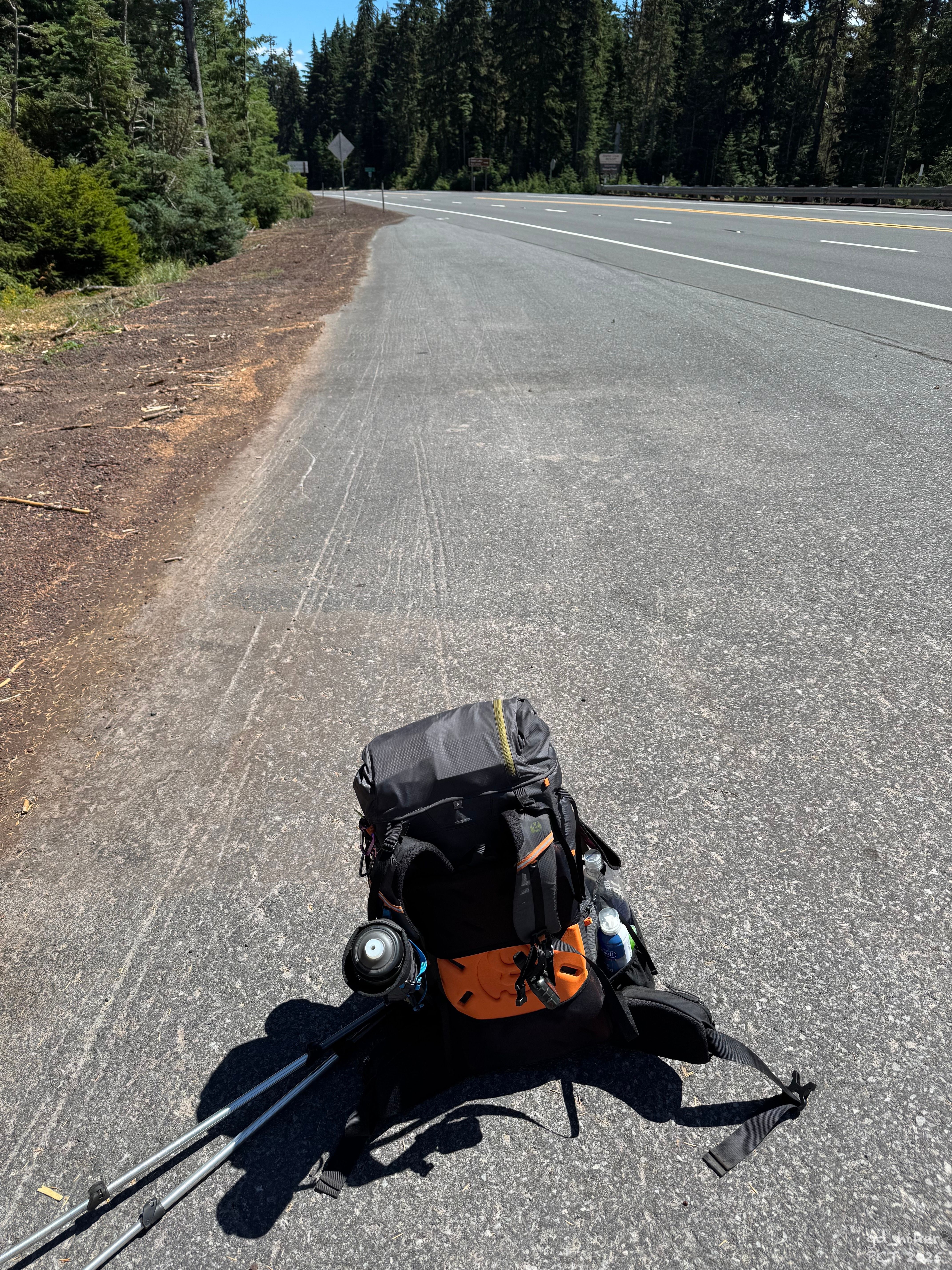
Um 12:45 Uhr erreichte ich die Straße – den Willamette Highway. Hier gab es keine Erfahrungswerte bei FarOut, was das Hitchhiken anging.
Es gibt hier keinen öffentlichen Bus, soweit ich weiß, also hieß es, den Daumen rauszuhalten und zu hoffen, dass ein Auto anhält.
Etwa 15 Minuten vergingen, während alle Autos einfach an mir vorbeirauschten.
Plötzlich tauchten zwei andere Hiker auf – Dayhiker, die von einem Parkplatz herunterkamen – und fragten mich, wohin ich wollte.
Sie erzählten, dass sie gleich von einem Freund abgeholt werden, der sie zum Shelter Cove bringen würde.
Die Idee klang gut, und so wartete ich mit den beiden gemeinsam. Nach fünf Minuten erschien der besagte Kumpel, und ich fuhr mit ihnen zum Shelter Cove.
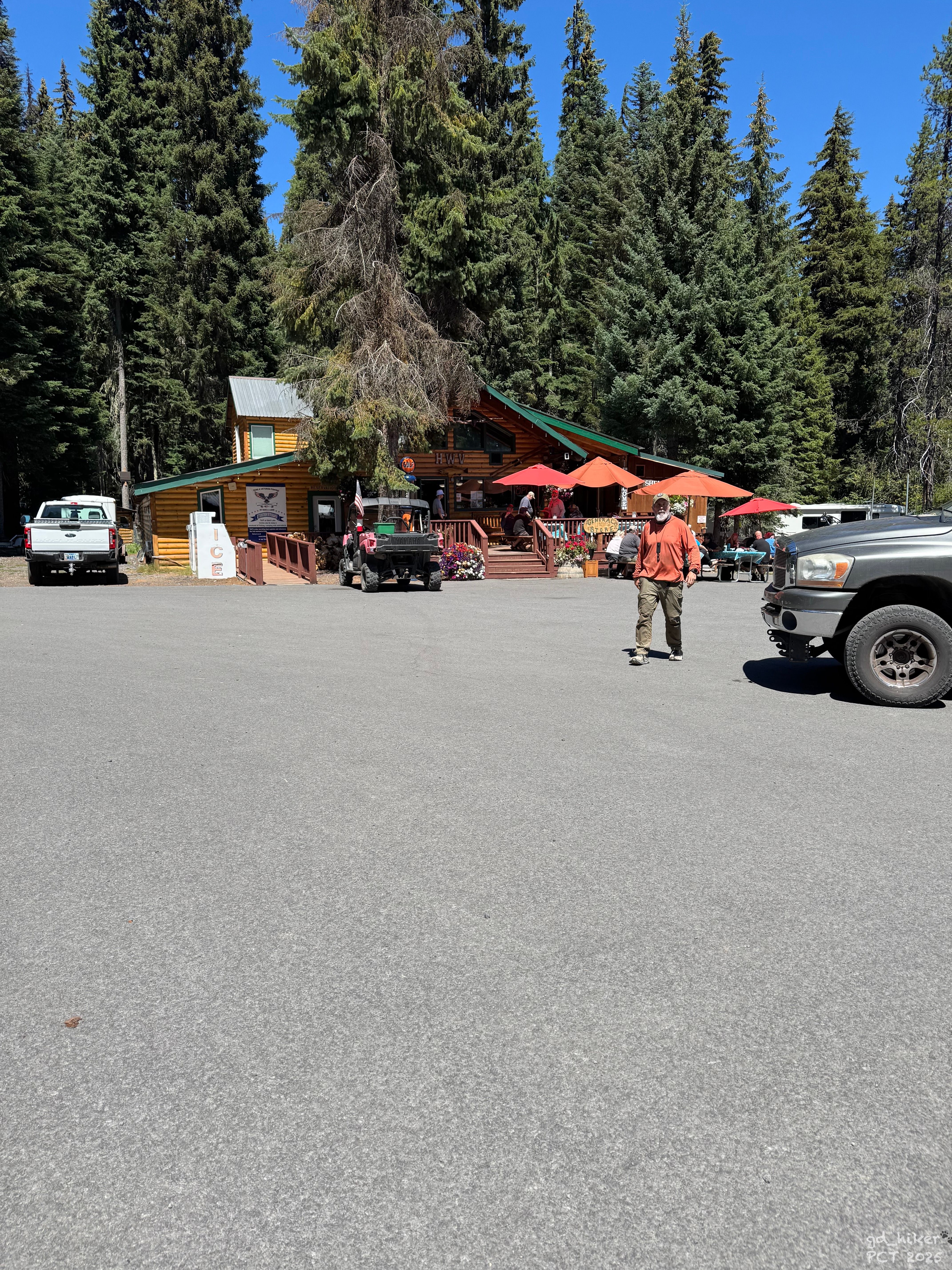
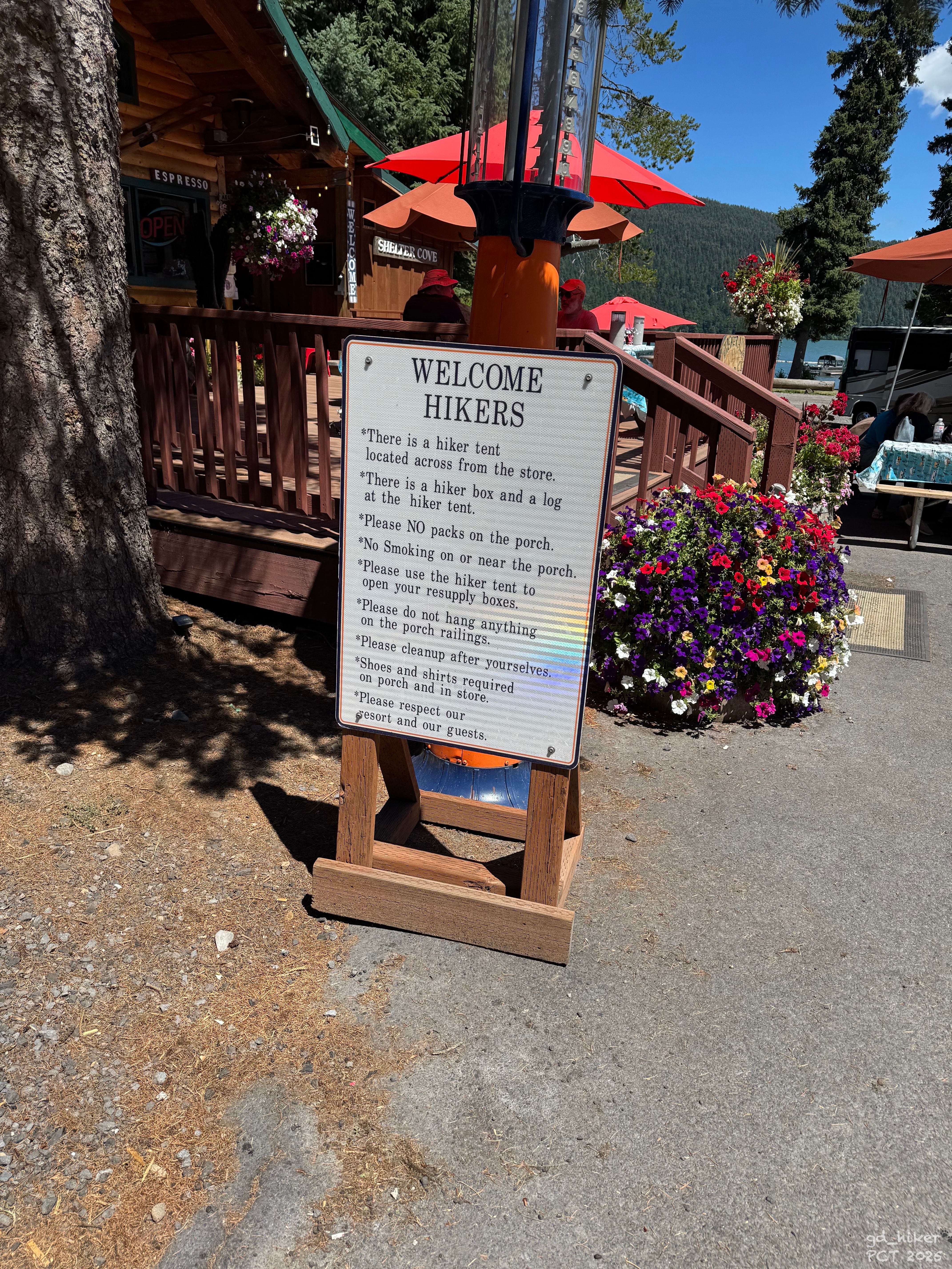
Das Resort war hikerfriendly und der Parkplatz war voll.
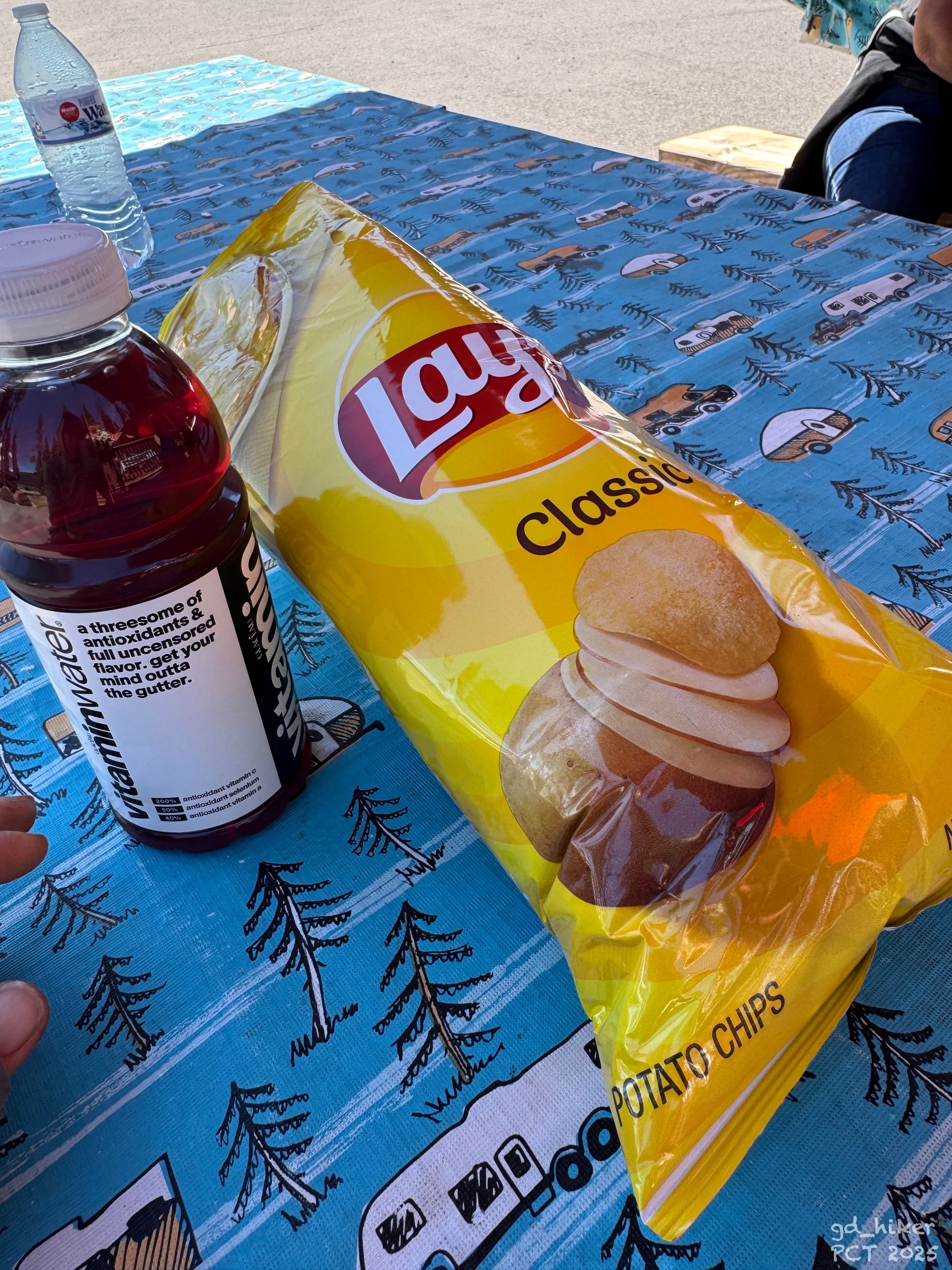
Zuerst ging ich in den Shop, holte mir eine Tüte Chips und etwas Kaltes zu trinken.
Ich fragte die Verkäuferin, ob sie wisse, ob vielleicht jemand nach Oakridge fährt. Sie überlegte kurz, verneinte, versprach mir aber, Bescheid zu sagen, falls sie etwas hört.
Ich setzte mich an einen Tisch im Schatten, schaute mich um und kam mit zwei Damen ins Gespräch. Auch sie konnten mir nicht helfen, da sie in die andere Richtung fuhren.
Oakridge lag auch nicht um die Ecke, sondern etwa 30 Autofahrminuten von hier entfernt.
Oakridge ist zudem kein typischer PCT-Stopp, weshalb es hier auch keine organisierte Trail Angel Gruppe gab.
Schnell stellte ich fest, dass es hier nicht klappen würde. Es war mitten am Tag, und warum sollte jemand zu dieser Uhrzeit diesen schönen Ort verlassen?
Der Freund der beiden Hiker, die mich angesprochen hatten, kam auf mich zu, da er offensichtlich bemerkt hatte, dass ich erfolglos war. Er bot mir an, mich zurück zum Highway zu fahren, da er sowieso gerade loswollte – allerdings in die andere Richtung als Oakridge.
Ich bedankte mich und nahm sein Angebot an.
Etwa eine Stunde später stand ich wieder am Highway und sah den Autos beim Vorbeifahren zu.
Plötzlich fuhr ein Auto vom Parkplatz des Trailheads herunter, und ich zögerte nicht.
Ich ging hin und sprach das junge Pärchen an. Auch sie waren Backpacker, wenn auch nur auf kürzeren Trips unterwegs. Das Auto war zwar vollgepackt, doch sie zögerten keine Sekunde und machten mir Platz.
Zum Glück fuhren sie in meine gewünschte Richtung und nahmen mich gerne mit.
Die Fahrt dauerte etwa 30 Minuten, während wir uns nett unterhielten.
Sie ließen mich am Ray's Food Place im Ort raus.
Ich hatte mir ein AirBnB ausgesucht, das direkt dahinter lag.(Besser gesagt, es wurde für mich rausgesucht- Danke Ulli 🤍)
Zuerst buchte ich die Unterkunft und ging dann in den Supermarkt zum Einkaufen – ich musste essen.
Nicht nur meine Füße litten unter der Wanderung, auch mein Gewicht war schon deutlich reduziert, und dagegen musste ich anessen.
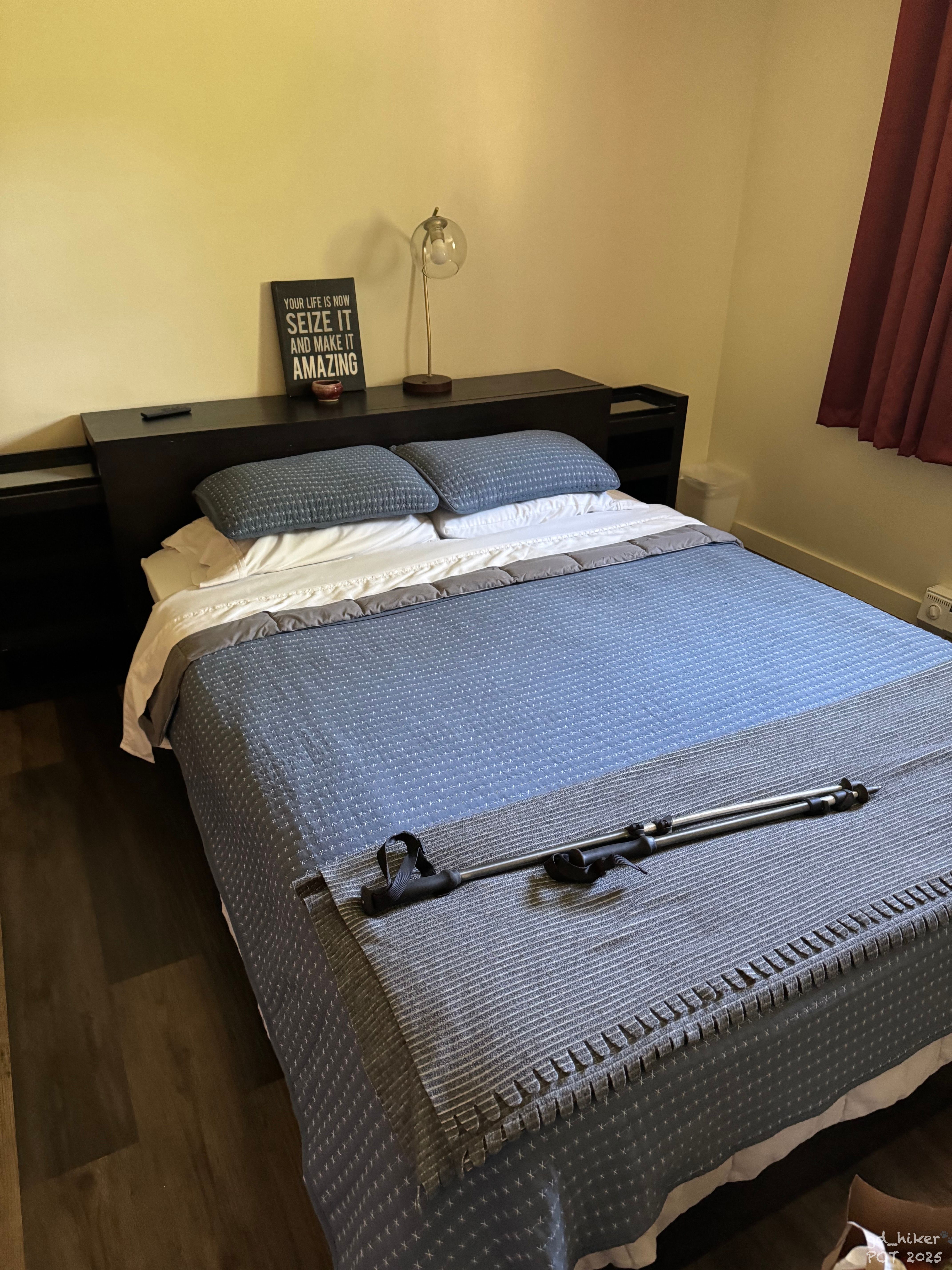
Mit einer schweren Tüte schleppte ich mich die letzten Meter zu meiner Unterkunft für die nächsten DREI Nächte – ja, richtig gelesen. Eine Zwangspause war nötig.
Die Unterkunft war traumhaft und es fehlte an nichts.
Während ich meinen Rucksack auspackte, sah ich mich um und machte mich über meine Einkäufe her.
Ich schaute online nach Urgent Care und fand eine Clinic, 800 m entfernt. Dort wollte ich morgen hingehen und meinen Fuß vorzeigen.
Frisch geduscht und mit eingesalbten Füßen, fiel ich um 20:20 Uhr erschöpft ins Bett.
---------------------------------
Tageskilometer 27,92 km
Gesamtkilometer 1256,16 km
---------------------------------
English Version:
It rained during the night, and my tent was still wet on the outside. But that wasn’t a big deal – by the time I got up, it was dry outside, and the air was wonderfully fresh.
It was decided – I would leave the trail at Willamette Pass for now. My feet were in really bad shape, and one of my blisters looked badly infected. Most of the time, I was walking in pain – and that despite the new shoes, which unfortunately turned out to be a complete flop.
I really need new gloves too 👀
At 6:45 a.m., I set off again – along Charlton Lake, with low-hanging clouds still draped in the trees.
A little frog hopped right in front of my feet as I kept moving – step by step and despite the pain.
The scenery remained heavily forested, while the sun slowly made its way up. Along the way, I passed many junctions and a few lakes.
The first few hours passed with a gentle climb, and I reached the viewpoint at Maiden Peak Saddle at 10:45 a.m.
I took a break and sat on a fallen log. From there, I had a great view of the three Rosary Lakes and over to Odell Lake at Shelter Cove.
My break lasted only about 15 minutes – the longer my feet rested, the more painful it was to start walking again.
From here, it was all downhill – about 340 meters of elevation over 7.3 kilometers. Pretty relaxed, I’d say.
And it was really pleasant to walk. The trail was well maintained, with hardly any stones or other obstacles in the way.
I reached the first one – North Rosary Lake. It lay beautifully in the sun and, like the other two, invited me to linger.
The dilemma of choice has crossed my path many times on the PCT – there are just too many beautiful spots where you’d like to take a break. I wanted to keep going and get my shoes off soon, so I only waved to the Rosary Lakes as I passed by.
Soon I arrived at my temporary goal – although it wasn’t my final destination for the day.
I could have stayed at Shelter Cove, as there was both a campsite and a cabin available.
However, there was no supermarket and no way to see a doctor there.
My goal was Oakridge – a town of 3,200 people, where both were available.
At 12:45 p.m., I reached the road – the Willamette Highway. There were no FarOut reports about hitchhiking here.
As far as I knew, there was no public bus, so it was time to stick out my thumb and hope a car would stop.
About 15 minutes passed while all the cars just zoomed by.
Suddenly, two other hikers appeared – day hikers coming down from a parking lot – and asked me where I was going.
They said they were about to be picked up by a friend who would drive them to Shelter Cove.
The idea sounded good, so I waited with them. Five minutes later, the friend appeared, and I rode with them to Shelter Cove.
The resort was hiker-friendly, and the parking lot was full.
First, I went into the shop and grabbed a bag of chips and something cold to drink.
I asked the cashier if she knew whether anyone might be going toward Oakridge. She thought for a moment, said no, but promised to let me know if she heard anything.
I sat at a table in the shade, looked around, and got into a conversation with two ladies. They couldn’t help me either, as they were going in the opposite direction.
Oakridge wasn’t just around the corner – it was about a 30-minute drive from here.
It’s also not a typical PCT stop, so there’s no organized Trail Angel group there.
I quickly realized it wouldn’t work here. It was the middle of the day, and why would anyone leave this beautiful place at that time?
The friend of the two hikers who had approached me noticed I was unsuccessful and came over. He offered to drive me back to the highway, since he was heading that way anyway – though in the opposite direction of Oakridge.
I thanked him and accepted his offer.
About an hour later, I was back on the highway, watching cars pass by.
Suddenly, a car came down from the trailhead parking lot, and I didn’t hesitate.
I went over and spoke to the young couple. They were also backpackers, though only on shorter trips. The car was full, but they didn’t hesitate for a second and made room for me.
Luckily, they were heading in my desired direction and gladly gave me a ride.
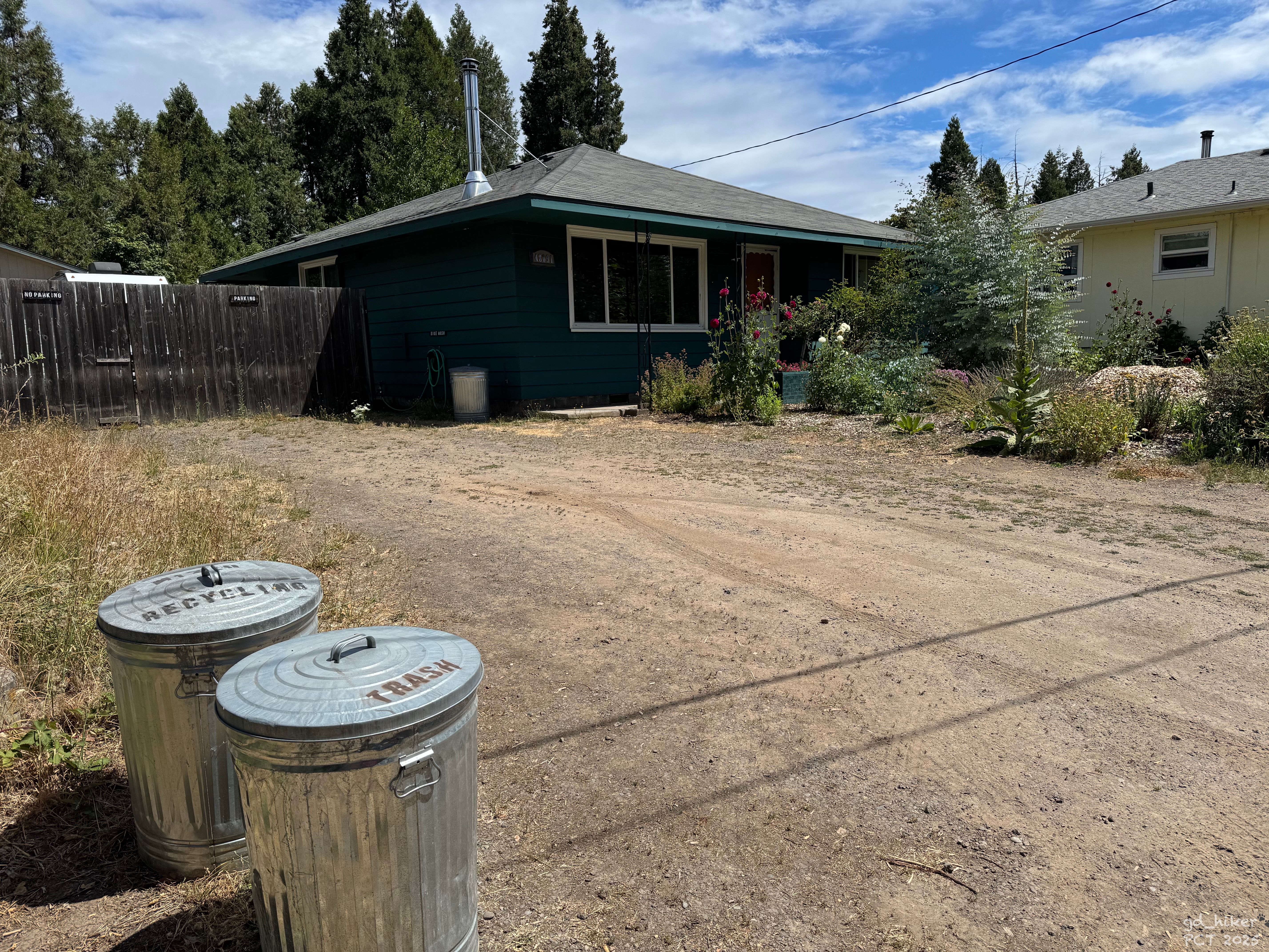
The drive lasted about 30 minutes, and we had a nice conversation. They dropped me off at Ray’s Food Place in town.I had picked an Airbnb right behind it. (Or rather, it was picked for me 🙏🏻 Thanks, Ulli 🤍)
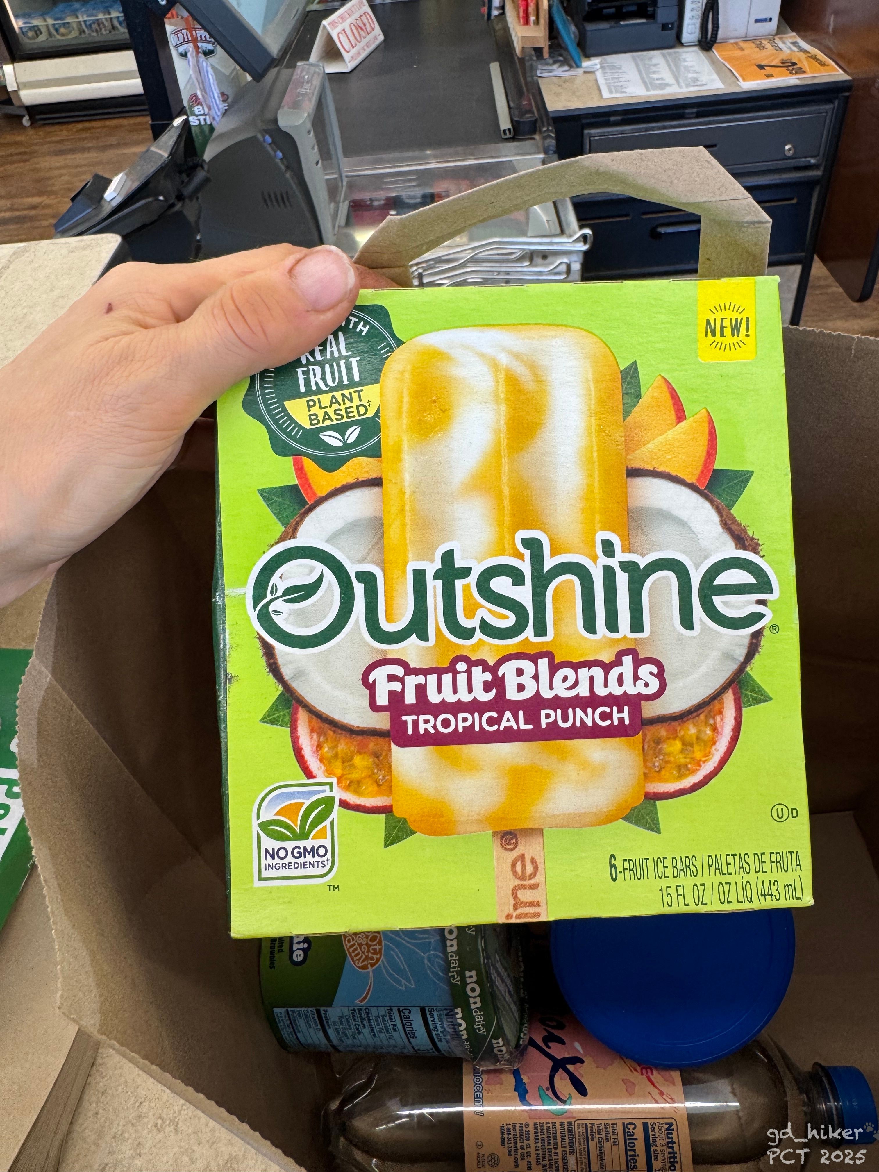
First, I booked the accommodation and then went to the supermarket to shop – I needed to eat.
Not only did my feet suffer from the hike, but my weight had already dropped noticeably, and I needed to replenish it.
With a heavy bag, I dragged myself the last few meters to my accommodation for the next THREE nights – yes, you read that right. A forced break was necessary.
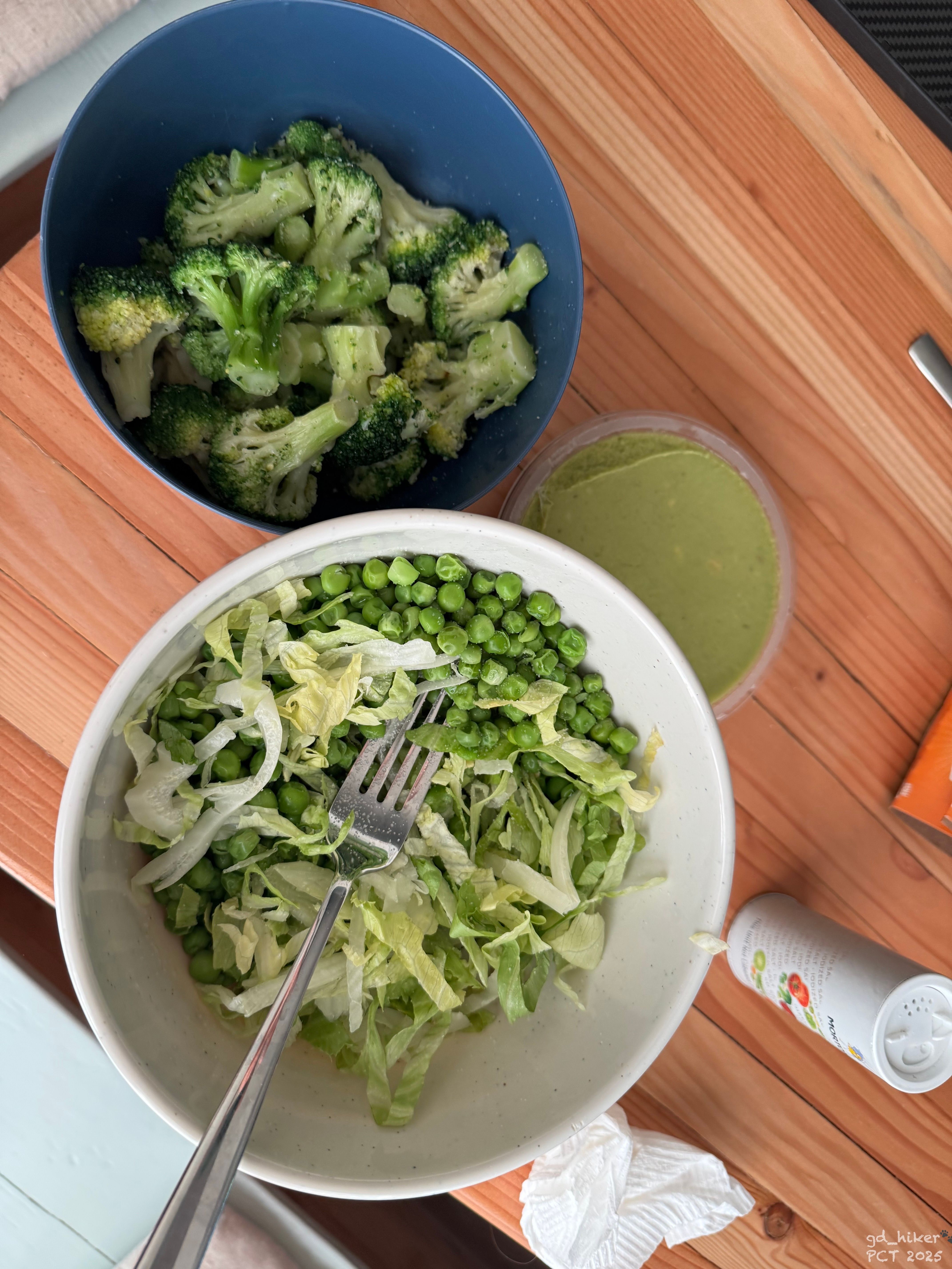
The place was amazing, and nothing was lacking.While unpacking my backpack, I looked around and dug into my groceries.
I searched online for Urgent Care and found a clinic 800 m away. I planned to go there tomorrow to have my foot checked.
Freshly showered and with my feet well-salved, I collapsed into bed exhausted at 8:20 p.m.
Daily kilometers: 27.92 km
Total kilometers: 1256.16 km